


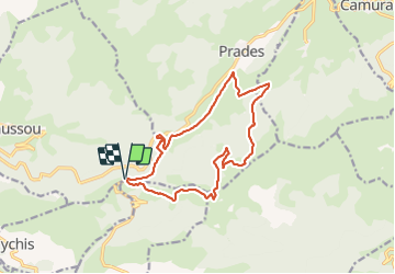

12,3 km | 26 km-effort

Utilisateur GUIDE


Application GPS de randonnée GRATUITE
 SityTrail
IGN / Instituts géographiques
SityTrail World
Le monde est à vous
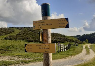
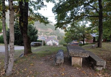
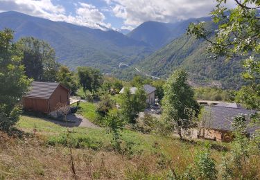
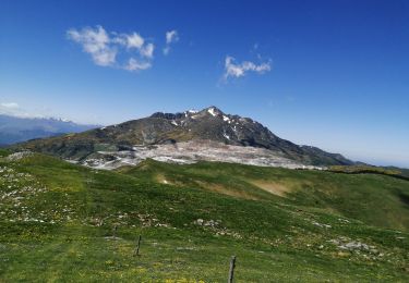
Randonnée V.T.T. de 15,3 km à découvrir à Occitanie, Ariège, Caussou. Cette randonnée est proposée par harydh.


Marche

Marche

Marche
Marche
Marche
Marche

Marche
Marche