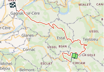

13,3 km | 19,3 km-effort


Utilisateur


Application GPS de randonnée GRATUITE
 SityTrail
IGN / Instituts géographiques
SityTrail World
Le monde est à vous
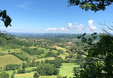
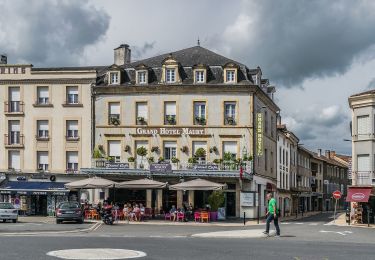
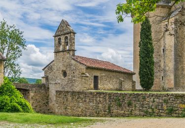
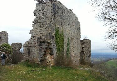
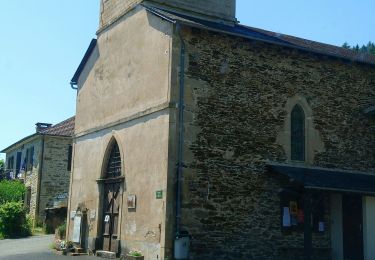
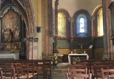
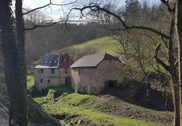
Randonnée Voiture de 15,3 km à découvrir à Occitanie, Lot, Saint-Laurent-les-Tours. Cette randonnée est proposée par alain46.
route
A pied
A pied
A pied
A pied
Marche
Marche
Marche