


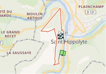

14,5 km | 22 km-effort


Utilisateur


Application GPS de randonnée GRATUITE
 SityTrail
IGN / Instituts géographiques
SityTrail World
Le monde est à vous
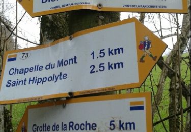
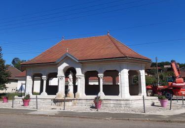
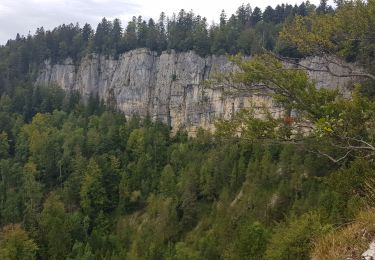
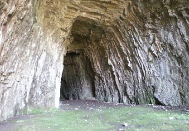
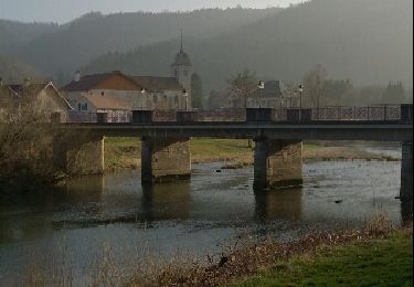
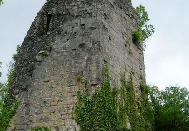
Randonnée Marche de 3 km à découvrir à Bourgogne-Franche-Comté, Doubs, Saint-Hippolyte. Cette randonnée est proposée par Thierry Lalouze.


Marche
Marche

Marche
Marche
V.T.T.

Marche
Course à pied
Marche
Marche