


la Forêt Domaniale de Meudon (2)

JeanLucA4
Utilisateur
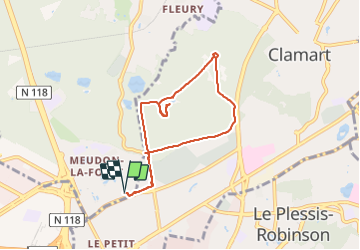

Longueur
7 km

Altitude max
181 m

Dénivelé positif
116 m
Km-Effort
8,5 km

Altitude min
116 m

Dénivelé négatif
117 m
Boucle
Oui
Date de création :
2021-09-20 06:50:02.0
Dernière modification :
2021-09-20 15:34:31.411
1h36
Difficulté : Moyen

Application GPS de randonnée GRATUITE
 SityTrail
IGN / Instituts géographiques
SityTrail Plus
Le monde est à vous
À propos
Randonnée Marche de 7 km à découvrir à Île-de-France, Hauts-de-Seine, Meudon. Cette randonnée est proposée par JeanLucA4.
Description
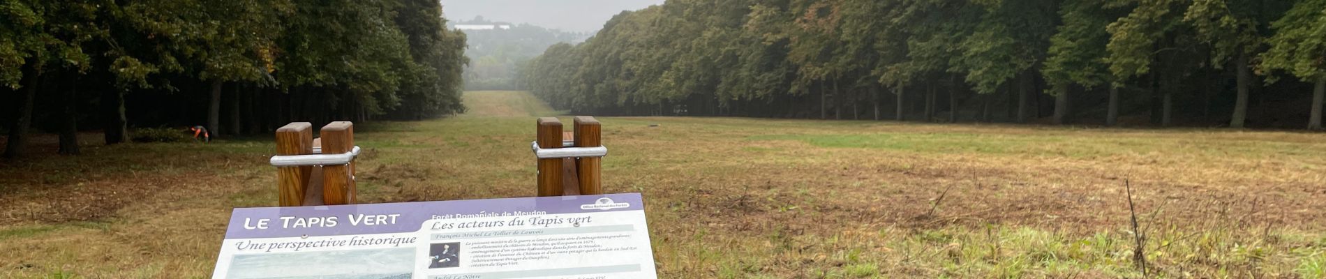
petite balade dans cette forêt
Photos
 - Photo 1")
 - Photo 2")
 - Photo 3")
 - Photo 4")
 - Photo 5")
 - Photo 6")
 - Photo 7")
 - Photo 8")
 - Photo 9")
 - Photo 10")
 - Photo 11")
 - Photo 12")
 - Photo 13")


Localisation
Pays :
France
Région :
Île-de-France
Département/Province :
Hauts-de-Seine
Commune :
Meudon
Localité :
Unknown
Départ:(Dec)
Départ:(UTM)
443654 ; 5403800 (31U) N.
Commentaires