Randonnée Marche Inconnu - Nuls - Photo
 jcrespel
jcrespel

Utilisateur

© OpenStreetMap contributors
Longueur
Longueur
36 m
Altitude max
Altitude max
107 m
Dénivelé positif
Dénivelé positif
0 m
Km-Effort
Km-Effort  
36 m
Altitude min
Altitude min
106 m
Dénivelé négatif
Dénivelé négatif
0 m
Boucle
Boucle
Non
Date de création :
2021-09-20 13:28:53.0
Dernière modification :
2021-09-20 13:34:09.323

(0 Avis)

Marche
Marche
4m
Difficulté :

Scannez ce code QR pour ouvrir la randonnée dans l'application SityTrail

Application GPS de randonnée GRATUITE

Logo SityTrail SityTrail

IGN / Instituts géographiques

Télécharger SityTrail sur l'App Store Télécharger SityTrail sur Google Play

Logo SityTrail SityTrail World

Le monde est à vous

Télécharger SityTrail sur l'App Store Télécharger SityTrail sur Google Play Télécharger SityTrail sur Huawei AppGallery

À propos

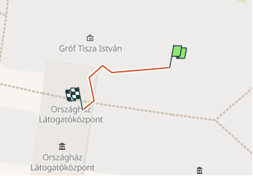
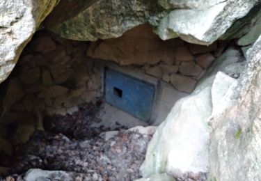
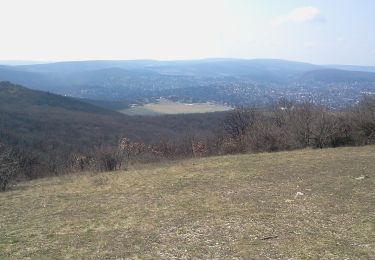
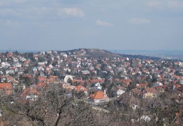
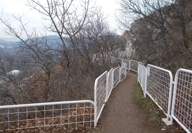
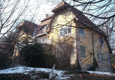
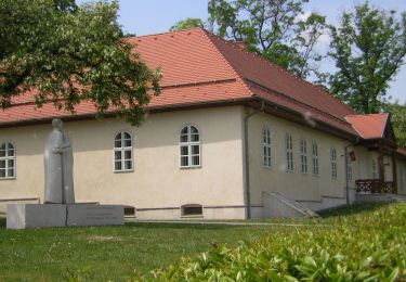
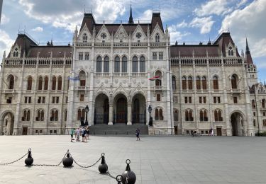
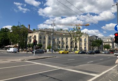
Randonnée Marche de 36 m à découvrir à Hongrie centrale, Budapest, Inconnu. Cette randonnée est proposée par jcrespel.

Profil altimétrique

Localisation

Pays :
Hongrie
Région :
Hongrie centrale
Département/Province :
Budapest
Commune :
Inconnu
Localité :
V. kerület
Départ:(Dec)
Départ:(UTM)
352880 ; 5263547 (34T) N.

Randonnées à proximité

Randonnée A pied Inconnu - K+ (Remete-hegyi-nyereg - Mátyás-hegy - Katinyi mártírok parkja, vill. mh.) - Photo
A pied
PRO

A pied

Facile
Inconnu, Hongrie centrale, Budapest, Hongrie
3,1 km | 4,2 km-effort
57min
Non
Randonnée A pied Inconnu - K↺ (Felső-Szép-völgy, autóparkoló - Hármashatár-hegy - Felső-Szép-völgy, autóparkoló) - Photo
A pied
PRO

A pied

Facile
Inconnu, Hongrie centrale, Budapest, Hongrie
3,1 km | 4,7 km-effort
1h 4min
Oui
Randonnée A pied Inconnu - P■ (Csillebérc, KFKI am. - Frankhegyi th. - Irhás-árok, am.) - Photo
A pied
PRO

A pied

Facile
Inconnu, Hongrie centrale, Budapest, Hongrie
3,6 km | 6,1 km-effort
1h 23min
Non
Randonnée A pied Inconnu - Z▲ (Nagybányai lépcső - Ferenc-hegy - Kavics utca, vill. mh.) - Photo
A pied
PRO

A pied

Facile
Inconnu, Hongrie centrale, Budapest, Hongrie
5,4 km | 7,6 km-effort
1h 42min
Non
Randonnée A pied Inconnu - Z↺ (Görgényi út, autóparkoló - Árpád-kilátó - Görgényi út, autóparkoló) - Photo
A pied
PRO

A pied

Facile
Inconnu, Hongrie centrale, Budapest, Hongrie
4,2 km | 6,2 km-effort
1h 24min
Oui
Randonnée A pied Inconnu - Z▲ (Zugliget, Libegő am. - Tündér-hegy - János-hegy, Erzsébet-kilátó) - Photo
A pied
PRO

A pied

Facile
Inconnu, Hongrie centrale, Budapest, Hongrie
3,8 km | 7,1 km-effort
1h 36min
Non
Randonnée Marche Inconnu - Budapest Obuda île Marguerite  - Photo
Marche
MAUVAGE Patrick

Marche

Inconnu, Hongrie centrale, Budapest, Hongrie
17,5 km | 20 km-effort
2h 50min
Non
Randonnée Cyclotourisme Inconnu - Budapest vélotourisme - Photo
Cyclotourisme
MAUVAGE Patrick

Cyclotourisme

Facile
Inconnu, Hongrie centrale, Budapest, Hongrie
17,8 km | 21 km-effort
3h 30min
Oui
Randonnée Marche Inconnu - Budapest Chateau-Pont Elisabeth - Photo
Marche
MAUVAGE Patrick

Marche

Inconnu, Hongrie centrale, Budapest, Hongrie
5,5 km | 7,3 km-effort
1h 35min
Non


Fermer
Mes abonnements