


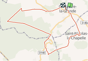

7,5 km | 9,1 km-effort


Utilisateur


Application GPS de randonnée GRATUITE
 SityTrail
IGN / Instituts géographiques
SityTrail World
Le monde est à vous
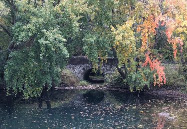
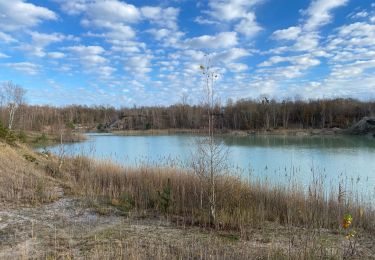
Randonnée Marche de 11,2 km à découvrir à Île-de-France, Seine-et-Marne, Chalautre-la-Grande. Cette randonnée est proposée par Alain Picard.
Marche

Marche
Marche
Marche

Marche
Marche

Marche
Marche