


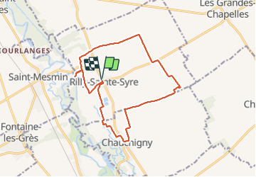

15,4 km | 17,7 km-effort


Utilisateur


Application GPS de randonnée GRATUITE
 SityTrail
IGN / Instituts géographiques
SityTrail World
Le monde est à vous
Randonnée Marche de 14,8 km à découvrir à Grand Est, Aube, Rilly-Sainte-Syre. Cette randonnée est proposée par NANE51.
Départ de la salle des fêtes de Rilly ste Syre
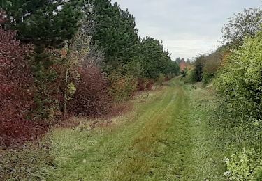
Marche
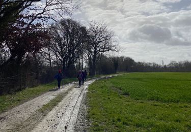
Marche

Marche
Marche

A pied
A pied
A pied

Marche