


4,2 km | 6,6 km-effort

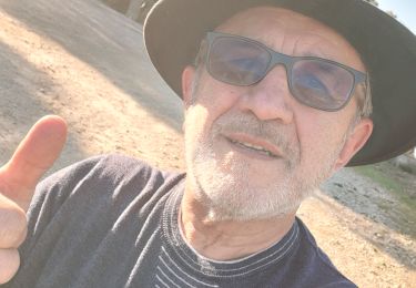
Utilisateur


Application GPS de randonnée GRATUITE
 SityTrail
IGN / Instituts géographiques
SityTrail World
Le monde est à vous
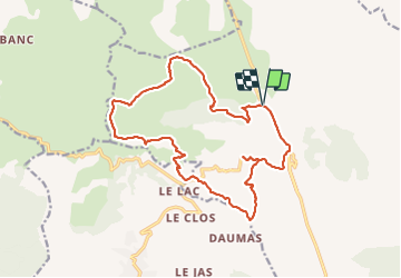
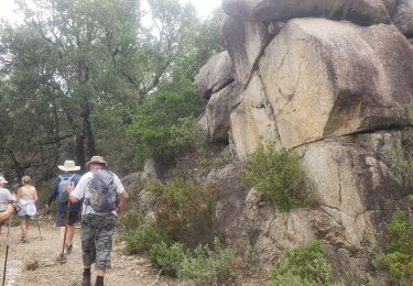
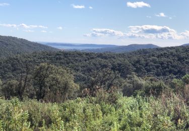
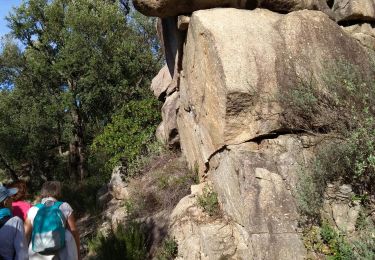
Randonnée Marche de 19 km à découvrir à Provence-Alpes-Côte d'Azur, Var, Sainte-Maxime. Cette randonnée est proposée par LtZIP.
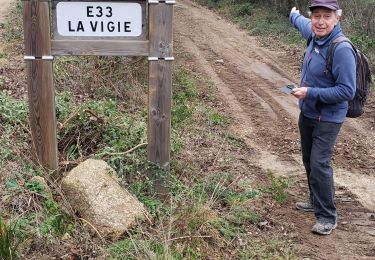
Retour le long de la D25 au lieu de passer par "Les Suis" car forte pluie
IBP
Orange 69


Marche
Marche
Marche
Marche
Marche
Marche
Marche
Marche
Marche