


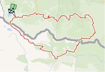

32 km | 63 km-effort


Utilisateur


Application GPS de randonnée GRATUITE
 SityTrail
IGN / Instituts géographiques
SityTrail World
Le monde est à vous
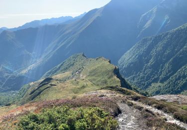
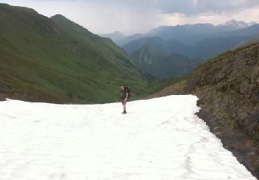
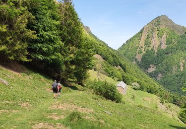
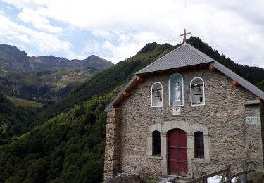
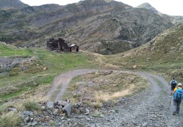
Randonnée Marche de 62 km à découvrir à Occitanie, Ariège, Sentein. Cette randonnée est proposée par ARVIEU.
au départ de l'Etang d'Araing, Les Estagnous, Eylie d'en Haut, Etang d'Araing

Marche
Marche
Marche
Marche
Marche
Marche
Marche

A pied
Marche