


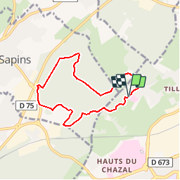

16,8 km | 24 km-effort


Utilisateur


Application GPS de randonnée GRATUITE
 SityTrail
IGN / Instituts géographiques
SityTrail World
Le monde est à vous
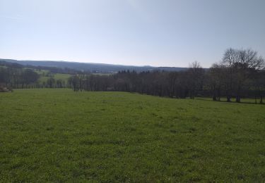
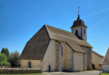
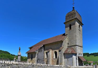
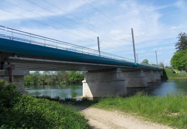
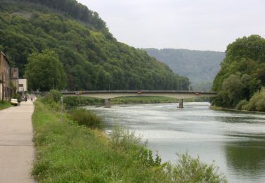
Randonnée V.T.T. de 6,7 km à découvrir à Bourgogne-Franche-Comté, Doubs, Besançon. Cette randonnée est proposée par norbertmarteau.
FFSA Championnat France 2014 VTT à Besançon.
Marche
Marche
Marche
Marche
A pied
A pied
A pied
A pied
A pied