


JFT YB ETAPE, 19 17-5-2014

jeff2
Utilisateur
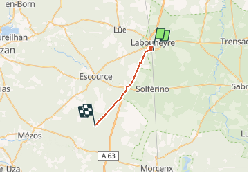

Longueur
17,7 km

Altitude max
87 m

Dénivelé positif
95 m
Km-Effort
19 km

Altitude min
69 m

Dénivelé négatif
96 m
Boucle
Non
Date de création :
2014-12-10 00:00:00.0
Dernière modification :
2014-12-10 00:00:00.0
4h49
Difficulté : Facile

Application GPS de randonnée GRATUITE
 SityTrail
IGN / Instituts géographiques
SityTrail Plus
Le monde est à vous
À propos
Randonnée Marche de 17,7 km à découvrir à Nouvelle-Aquitaine, Landes, Labouheyre. Cette randonnée est proposée par jeff2.
Description
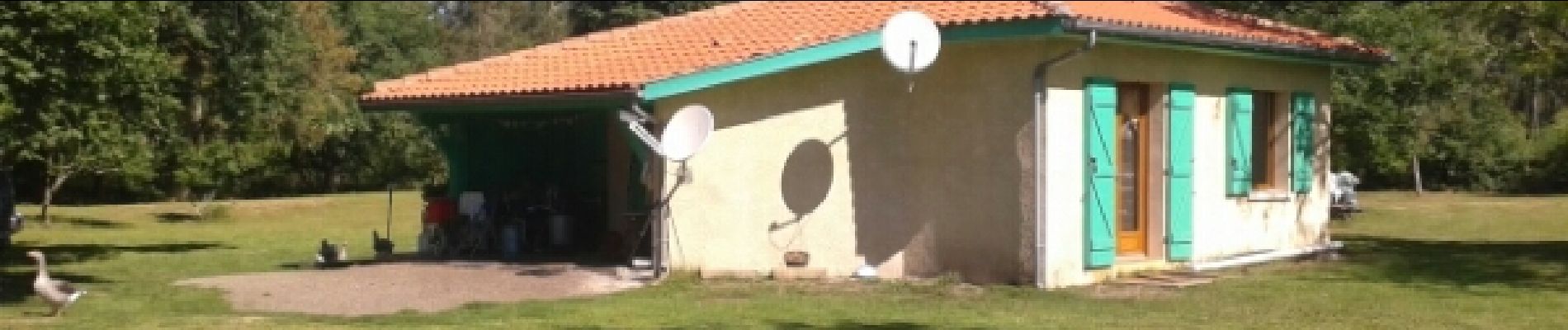
Labouheyre à Onesse problème Gps
Photos


Localisation
Pays :
France
Région :
Nouvelle-Aquitaine
Département/Province :
Landes
Commune :
Labouheyre
Localité :
Unknown
Départ:(Dec)
Départ:(UTM)
666292 ; 4896246 (30T) N.
Commentaires