


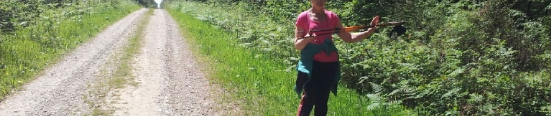
La Sauline 9.9km 20140520

cmike39
Utilisateur
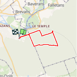

Longueur
9,9 km

Altitude max
253 m

Dénivelé positif
131 m
Km-Effort
11,6 km

Altitude min
219 m

Dénivelé négatif
131 m
Boucle
Oui
Date de création :
2015-05-31 00:00:00.0
Dernière modification :
2019-05-13 19:01:47.799
2h03
Difficulté : Inconnu

Application GPS de randonnée GRATUITE
 SityTrail
IGN / Instituts géographiques
SityTrail Plus
Le monde est à vous
À propos
Randonnée Marche nordique de 9,9 km à découvrir à Bourgogne-Franche-Comté, Jura, Dole. Cette randonnée est proposée par cmike39.
Description
test
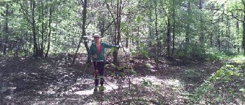
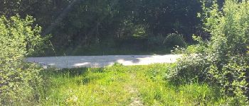
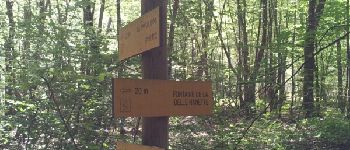
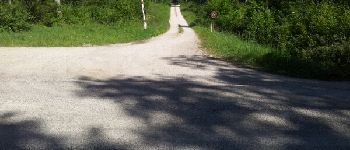
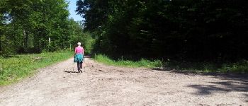
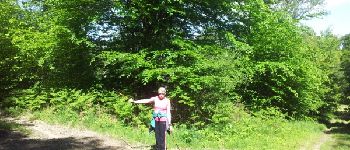
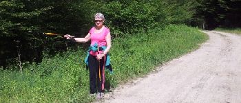
Photos


Localisation
Pays :
France
Région :
Bourgogne-Franche-Comté
Département/Province :
Jura
Commune :
Dole
Localité :
Unknown
Départ:(Dec)
Départ:(UTM)
691383 ; 5216643 (31T) N.
Commentaires