Randonnée Marche Dijon - 20220103 - Photo
 Vivie21
Vivie21

Utilisateur

© OpenStreetMap contributors
Longueur
Longueur
11,4 km
Altitude max
Altitude max
356 m
Dénivelé positif
Dénivelé positif
171 m
Km-Effort
Km-Effort  
13,7 km
Altitude min
Altitude min
233 m
Dénivelé négatif
Dénivelé négatif
173 m
Boucle
Boucle
Oui
Date de création :
2022-01-03 12:35:05.387
Dernière modification :
2022-01-03 15:18:46.996

(0 Avis)

Marche
Marche
2h27
Difficulté : Difficile

Scannez ce code QR pour ouvrir la randonnée dans l'application SityTrail

Application GPS de randonnée GRATUITE

Logo SityTrail SityTrail

IGN / Instituts géographiques

Télécharger SityTrail sur l'App Store Télécharger SityTrail sur Google Play

Logo SityTrail SityTrail World

Le monde est à vous

Télécharger SityTrail sur l'App Store Télécharger SityTrail sur Google Play Télécharger SityTrail sur Huawei AppGallery

À propos

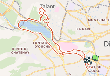
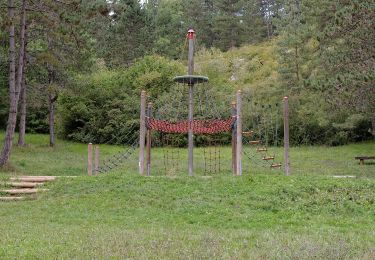
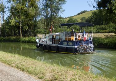
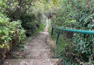
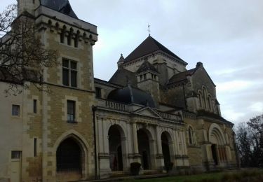
Randonnée Marche de 11,4 km à découvrir à Bourgogne-Franche-Comté, Côte-d'Or, Dijon. Cette randonnée est proposée par Vivie21.

Profil altimétrique

Photos

Localisation

Pays :
France
Région :
Bourgogne-Franche-Comté
Département/Province :
Côte-d'Or
Commune :
Dijon
Localité :
Unknown
Départ:(UTM)
653388 ; 5242014 (31T) N.

Randonnées à proximité

Randonnée Marche Dijon - Parcours Félix Batier - Dijon - Nuits Saint Georges - Photo
Marche
tracegps

Marche

Très difficile
(6)
Dijon, Bourgogne-Franche-Comté, Côte-d'Or, France
51 km | 75 km-effort
14h 0min
Non
Randonnée Marche Marsannay-la-Côte - Marsannay  la Côte 2021-03-02 repérage CAF - Photo
Marche
TRIMAILLE

Marche

Très facile
(1)
Marsannay-la-Côte, Bourgogne-Franche-Comté, Côte-d'Or, France
23 km | 30 km-effort
4h 39min
Oui
Randonnée Marche Dijon - Combe St Joseph 21km Prj P8 MC 20220928 - Photo
Marche
cmike39

Marche

Très facile
(1)
Dijon, Bourgogne-Franche-Comté, Côte-d'Or, France
21 km | 29 km-effort
3h 34min
Oui
Randonnée A pied Dijon - Circuit Découverte des Hauts de la Combe - Photo
A pied
PRO

A pied

Facile
Dijon, Bourgogne-Franche-Comté, Côte-d'Or, France
4,2 km | 5,4 km-effort
1h 13min
Oui
Randonnée V.T.C. Dijon - Canal de Bourgogne Dijon Buffon 146km - Photo
V.T.C.
GUIDE
thonyc

V.T.C.

Moyen
Dijon, Bourgogne-Franche-Comté, Côte-d'Or, France
146 km | 160 km-effort
10h 0min
Non
Randonnée V.T.T. Chenôve - chenove Vcre  - Photo
V.T.T.
phil21

V.T.T.

Facile
(1)
Chenôve, Bourgogne-Franche-Comté, Côte-d'Or, France
34 km | 40 km-effort
2h 52min
Non
Randonnée Marche Dijon - Marssanay la côte - Photo
Marche
eric.guyard21

Marche

Très difficile
Dijon, Bourgogne-Franche-Comté, Côte-d'Or, France
23 km | 31 km-effort
5h 33min
Oui
Randonnée Marche Marsannay-la-Côte - tttghggg - Photo
Marche
rando-patara

Marche

Très facile
(1)
Marsannay-la-Côte, Bourgogne-Franche-Comté, Côte-d'Or, France
6,3 km | 8,3 km-effort
2h 27min
Non
Randonnée Marche Fontaine-lès-Dijon - FONTAINE LES DIJON / Combe SOUILLOT 27/11/2018 - Photo
Marche
limase

Marche

Très facile
Fontaine-lès-Dijon, Bourgogne-Franche-Comté, Côte-d'Or, France
8,3 km | 10,3 km-effort
2h 4min
Oui


Fermer
Mes abonnements