


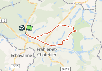

11 km | 15,8 km-effort

Utilisateur


Application GPS de randonnée GRATUITE
 SityTrail
IGN / Instituts géographiques
SityTrail World
Le monde est à vous
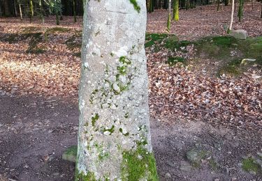
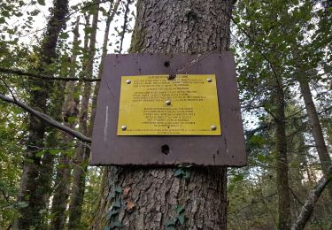
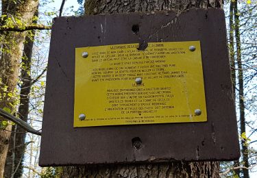
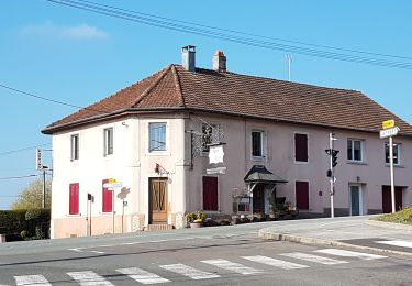
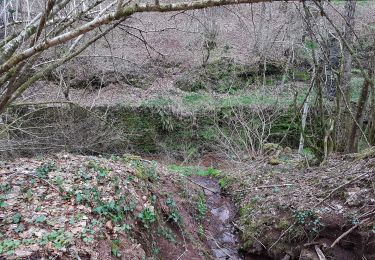
Randonnée Marche de 5,6 km à découvrir à Bourgogne-Franche-Comté, Haute-Saône, Frahier-et-Chatebier. Cette randonnée est proposée par Evelyne3.
Bien


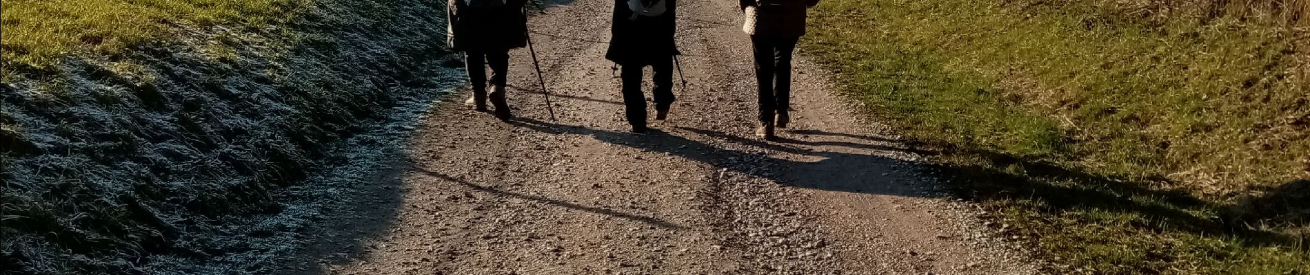
Marche

V.T.T.
V.T.T.
Marche
Marche
Marche
Marche
Marche
Marche