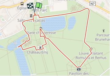

6,4 km | 7,9 km-effort


Randonnées du CGT GUIDE+


Application GPS de randonnée GRATUITE
 SityTrail
IGN / Instituts géographiques
SityTrail World
Le monde est à vous
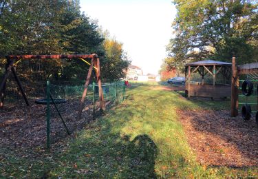
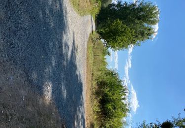
Randonnée A pied de 3 km à découvrir à Wallonie, Hainaut, Enghien. Cette randonnée est proposée par Commissariat général au Tourisme.
Randonnée créée par Wallonie Picarde (Antenne Tournai) .
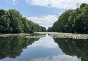
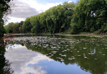
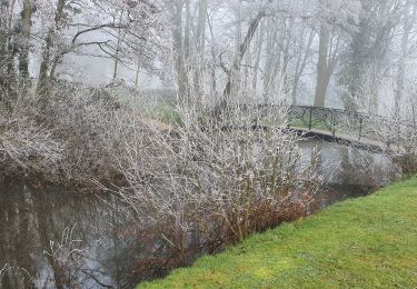
Aujourd’hui repris parmi les « Jardins exceptionnels de Wallonie », le parc d’Enghien a été considéré comme l’un des plus beaux jardins d’Europe au XVIIe siècle ! Il est un endroit privilégié où il fait bon flâner et se ressourcer.
Prenez le temps d’admirer les nombreux jardins thématiques (jardin des roses, jardin des dalhias, jardin baroque…), les ouvrages d’eau et les bâtiments anciens, classés au Patrimoine Majeur de Wallonie. Le repos et la détente sont au rendez-vous dans cet espace vert de 180 ha où l’histoire se marie merveilleusement bien à la nature.
Site web: https://organismes.tourismewallonie.be/details/ITB-02-000JNQ&type=8/


Marche

A pied

Marche
Marche
Marche
Marche
Marche
Marche