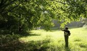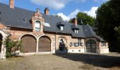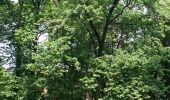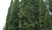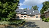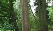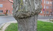

Arboretumwandeling
SityTrail - itinéraires balisés pédestres
Tous les sentiers balisés d’Europe PRO

Longueur
7,1 km

Altitude max
135 m

Dénivelé positif
104 m

Km-Effort
8,5 km

Altitude min
78 m

Dénivelé négatif
102 m
Boucle
Oui
Balise
Date de création :
2022-02-09 15:00:47.966
Dernière modification :
2022-02-09 17:53:15.507
1h55
Difficulté : Facile

Application GPS de randonnée GRATUITE
À propos
Randonnée A pied de 7,1 km à découvrir à Flandre, Brabant flamand, Tervueren. Cette randonnée est proposée par SityTrail - itinéraires balisés pédestres.
Description
Randonnée créée par vzw Toerisme Vlaams-Brabant..
Symbole: Groene paaltjes met schuine kop
Localisation
Pays :
Belgique
Région :
Flandre
Département/Province :
Brabant flamand
Commune :
Tervueren
Localité :
Tervueren
Départ:(Dec)
Départ:(UTM)
605183 ; 5629306 (31U) N.
Commentaires
Randonnées à proximité
RB-Br-09 Rac02


Marche
Facile
(9)
Auderghem,
Bruxelles-Capitale,
Inconnu,
Belgique

15,3 km | 18 km-effort
4h 5min
Oui
RB-Br-09


Marche
Moyen
(6)
Auderghem,
Bruxelles-Capitale,
Inconnu,
Belgique

20 km | 25 km-effort
5h 34min
Oui
RB-Br-09 Rac01


Marche
Facile
(3)
Auderghem,
Bruxelles-Capitale,
Inconnu,
Belgique

16 km | 19,1 km-effort
4h 20min
Oui
#221017 - Duisburg, Wolfkensberg, Raffelberg*****


Marche
Moyen
(1)
Tervueren,
Flandre,
Brabant flamand,
Belgique

8,3 km | 9,5 km-effort
2h 10min
Oui
Tervuren Leefdaal 22 km


Marche
Facile
(1)
Tervueren,
Flandre,
Brabant flamand,
Belgique

23 km | 27 km-effort
5h 24min
Oui
grœnendael forêt de Soigne. 14


Marche
Très facile
(2)
Hoeilaert,
Flandre,
Brabant flamand,
Belgique

14 km | 16,9 km-effort
4h 23min
Oui
Soignes-Hulpe South


Marche
Facile
(3)
Hoeilaert,
Flandre,
Brabant flamand,
Belgique

13,9 km | 16,9 km-effort
3h 46min
Oui
Arboretum - Kapucijnenbos


Marche
Difficile
(1)
Tervueren,
Flandre,
Brabant flamand,
Belgique

13,7 km | 16,3 km-effort
3h 41min
Oui
arboretum


Marche
Très facile
(1)
Tervueren,
Flandre,
Brabant flamand,
Belgique

8 km | 9,2 km-effort
2h 51min
Oui


 SityTrail


