


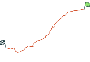

6,3 km | 6,8 km-effort

Tous les sentiers balisés d’Europe PRO


Application GPS de randonnée GRATUITE
 SityTrail
IGN / Instituts géographiques
SityTrail World
Le monde est à vous
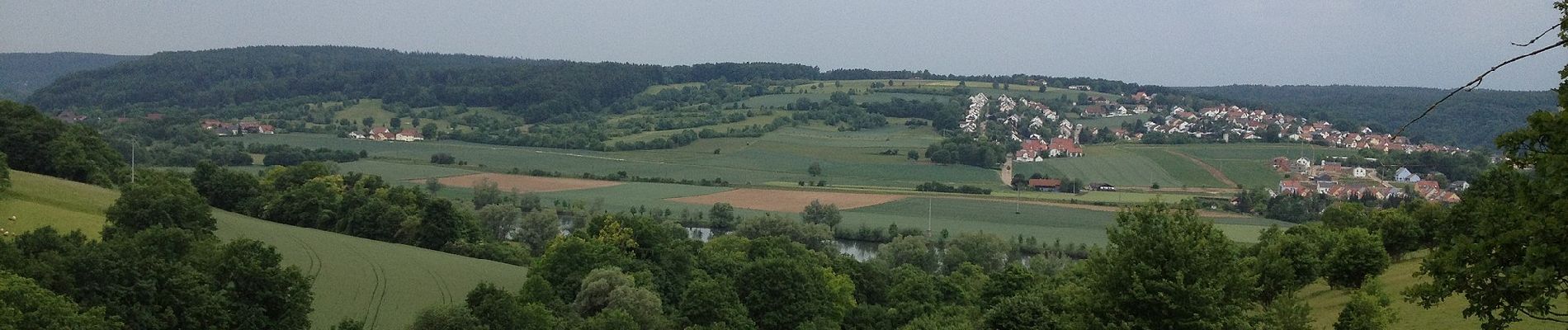
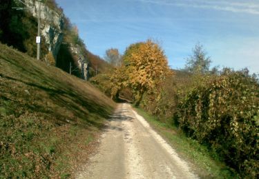
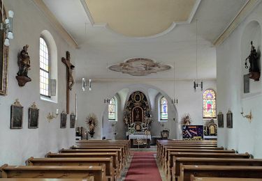
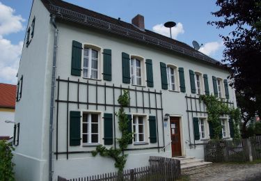
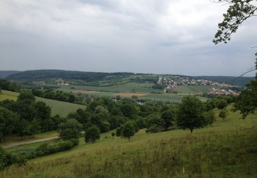
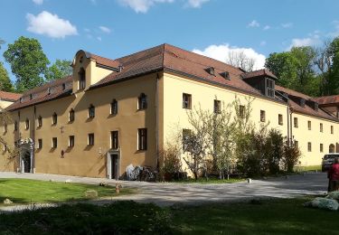
Randonnée A pied de 5,3 km à découvrir à Bavière, Landkreis Regensburg, Pentling. Cette randonnée est proposée par SityTrail - itinéraires balisés pédestres.
Randonnée créée par Waldverein Regensburg.
Symbole: Rotes Rechteck auf weißem Grund
 - Photo 1")
 - Photo 2")
 - Photo 3")
 - Photo 4")
 - Photo 5")
 - Photo 6")
 - Photo 7")
 - Photo 8")
 - Photo 9")
 - Photo 10")
A pied
A pied
A pied
A pied
A pied
A pied
A pied
![Randonnée A pied Pentling - S 20 Hohengebraching - Unterirading [Walba] (Blaues Rechteck) - Photo](https://media.geolcdn.com/t/375/260/ext.jpg?maxdim=2&url=https%3A%2F%2Fmedia.geolcdn.com%2Ff%2F81f267c5-b53b-4c4e-b86a-f20025f30912.jpeg)
A pied
A pied