Randonnée A pied Roetgen - Kall-Rur-Panorama-Route - Photo

Tous les sentiers balisés d’Europe PRO

© OpenStreetMap contributors
Longueur
Longueur
47 km
Altitude max
Altitude max
596 m
Dénivelé positif
Dénivelé positif
1188 m
Km-Effort
Km-Effort  
64 km
Altitude min
Altitude min
281 m
Dénivelé négatif
Dénivelé négatif
1277 m
Boucle
Boucle
Non
Balise
Balise
Date de création :
2022-02-11 16:19:06.743
Dernière modification :
2022-02-11 16:19:06.743

(0 Avis)

A pied
A pied
14h25
Difficulté : Très difficile

Scannez ce code QR pour ouvrir la randonnée dans l'application SityTrail

Application GPS de randonnée GRATUITE

Logo SityTrail SityTrail

IGN / Instituts géographiques

Télécharger SityTrail sur l'App Store Télécharger SityTrail sur Google Play

Logo SityTrail SityTrail World

Le monde est à vous

Télécharger SityTrail sur l'App Store Télécharger SityTrail sur Google Play Télécharger SityTrail sur Huawei AppGallery

À propos

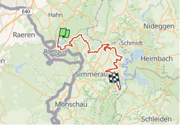
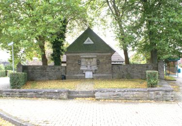
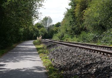
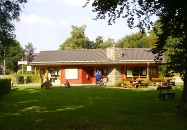
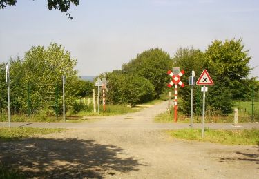
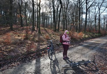
Randonnée A pied de 47 km à découvrir à Rhénanie-du-Nord-Westphalie, Région urbaine d'Aix-la-Chapelle, Roetgen. Cette randonnée est proposée par SityTrail - itinéraires balisés pédestres.

Description

Symbole: green:green:blue_bar:KRP:white

Photos

Localisation

Pays :
Allemagne
Région :
Rhénanie-du-Nord-Westphalie
Département/Province :
Région urbaine d'Aix-la-Chapelle
Commune :
Roetgen
Localité :
Unknown
Départ:(UTM)
302474 ; 5615660 (32U) N.

Randonnées à proximité

Randonnée Marche Raeren - Petergensfeld - Natura 2000, des sites qui valent le détour - Lg21 - Photo
Marche
GUIDE+

Marche

Moyen
(4)
Raeren, Wallonie, Liège, Belgique
13,8 km | 16,1 km-effort
3h 26min
Oui
Randonnée A pied Roetgen - Hahner Straße Rundweg A2 - Photo
A pied
PRO

A pied

Facile
Roetgen, Rhénanie-du-Nord-Westphalie, Région urbaine d'Aix-la-Chapelle, Allemagne
6,1 km | 7,8 km-effort
1h 46min
Oui
Randonnée A pied Roetgen - Rott Rundweg A3 - Photo
A pied
PRO

A pied

Facile
Roetgen, Rhénanie-du-Nord-Westphalie, Région urbaine d'Aix-la-Chapelle, Allemagne
4,4 km | 5,8 km-effort
1h 18min
Oui
Randonnée A pied Aix-la-Chapelle - Kalkofenweg - Photo
A pied
PRO

A pied

Facile
Aix-la-Chapelle, Rhénanie-du-Nord-Westphalie, Région urbaine d'Aix-la-Chapelle, Allemagne
6,9 km | 8,1 km-effort
1h 50min
Oui
Randonnée A pied Roetgen - Struffelt-Route (Eifel) - Photo
A pied
PRO

A pied

Facile
(1)
Roetgen, Rhénanie-du-Nord-Westphalie, Région urbaine d'Aix-la-Chapelle, Allemagne
9,6 km | 12,4 km-effort
2h 49min
Oui
Randonnée A pied Roetgen - Dorfrundgang Roetgen - Photo
A pied
PRO

A pied

Facile
Roetgen, Rhénanie-du-Nord-Westphalie, Région urbaine d'Aix-la-Chapelle, Allemagne
5,3 km | 6 km-effort
1h 22min
Oui
Randonnée A pied Raeren - Naturlehrpfad Raeren - Photo
A pied
PRO

A pied

Facile
Raeren, Wallonie, Liège, Belgique
8 km | 9 km-effort
2h 2min
Oui
Randonnée A pied Roetgen - Roetgen Rundweg A3 - Photo
A pied
PRO

A pied

Facile
Roetgen, Rhénanie-du-Nord-Westphalie, Région urbaine d'Aix-la-Chapelle, Allemagne
8,8 km | 10,8 km-effort
2h 27min
Oui
Randonnée A pied Roetgen - Petergensfeld (Grünes Rechteck) - Photo
A pied
PRO

A pied

Moyen
Roetgen, Rhénanie-du-Nord-Westphalie, Région urbaine d'Aix-la-Chapelle, Allemagne
19,7 km | 23 km-effort
5h 12min
Non


Fermer
Mes abonnements