


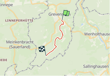

11 km | 15,8 km-effort

Tous les sentiers balisés d’Europe PRO


Application GPS de randonnée GRATUITE
 SityTrail
IGN / Instituts géographiques
SityTrail World
Le monde est à vous
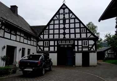
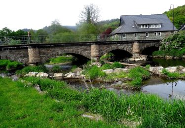
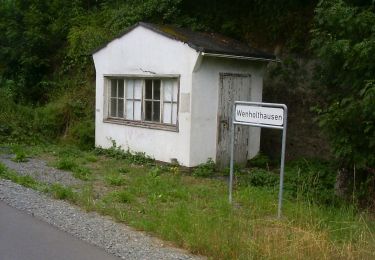
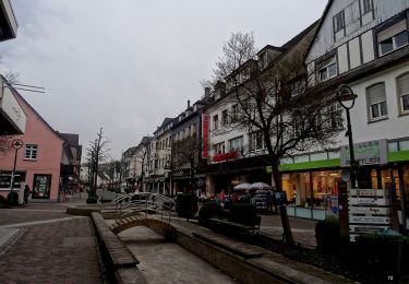
Randonnée A pied de 4,3 km à découvrir à Rhénanie-du-Nord-Westphalie, Hochsauerlandkreis, Meschede. Cette randonnée est proposée par SityTrail - itinéraires balisés pédestres.
Randonnée créée par Sauerländischer Gebirgsverein (SGV).
Symbole: weißes H auf schwarzem Grund


A pied
A pied
A pied
A pied
A pied
A pied
A pied
A pied
A pied