Randonnée A pied Sarrebruck - Rundweg Historischer Halberg - Photo

Tous les sentiers balisés d’Europe PRO

© OpenStreetMap contributors
Longueur
Longueur
3 km
Altitude max
Altitude max
285 m
Dénivelé positif
Dénivelé positif
90 m
Km-Effort
Km-Effort  
4,2 km
Altitude min
Altitude min
205 m
Dénivelé négatif
Dénivelé négatif
75 m
Boucle
Boucle
Non
Balise
Balise
Date de création :
2022-02-11 20:08:50.136
Dernière modification :
2022-02-11 20:08:50.136

(0 Avis)

A pied
A pied
56m
Difficulté : Facile

Scannez ce code QR pour ouvrir la randonnée dans l'application SityTrail

Application GPS de randonnée GRATUITE

Logo SityTrail SityTrail

IGN / Instituts géographiques

Télécharger SityTrail sur l'App Store Télécharger SityTrail sur Google Play

Logo SityTrail SityTrail World
Le monde est à vous

Télécharger SityTrail sur l'App Store Télécharger SityTrail sur Google Play Télécharger SityTrail sur Huawei AppGallery

À propos

Randonnée A pied de 3 km à découvrir à Sarre, Regionalverband Saarbrücken, Sarrebruck. Cette randonnée est proposée par SityTrail - itinéraires balisés pédestres.

Description

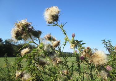
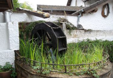
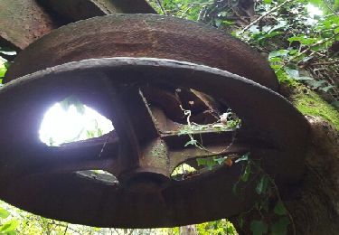
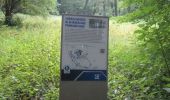
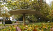
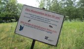
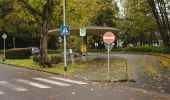
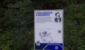
Der vom Saarländischen Rundfunk konzipierte Rundweg "Historischer Halberg" beginnt auf dem Parkplatz, linkerhand der Bushaltestelle. Anlässlich des 60. Geburtstages des SR wurde der Weg neu gestaltet. Zu erwandern und zu besichtigen sind Zeugnisse aus rund 2000 Jahren, die durch 19 Informationstafeln gekennzeichnet und beschrieben sind.

Site web: https://www.sr.de/sr/home/der_sr/wir_uber_uns/geschichte/historischer_rundwanderweg_halberg100.html

Photos

Localisation

Pays :
Allemagne
Région :
Sarre
Département/Province :
Regionalverband Saarbrücken
Commune :
Sarrebruck
Localité :
Bezirk Halberg
Départ:(UTM)
356745 ; 5453886 (32U) N.

Randonnées à proximité

Randonnée A pied Sarrebruck - DE-▲ - Photo
A pied
PRO

A pied

Facile
Sarrebruck, Sarre, Regionalverband Saarbrücken, Allemagne
3,4 km | 5,2 km-effort
1h 10min
Non
Randonnée Marche Alsting - Les hauteurs d'Alsting - Zinzing - Photo
Marche
tracegps

Marche

Moyen
Alsting, Grand Est, Moselle, France
16,2 km | 21 km-effort
4h 10min
Oui
Randonnée Marche Spicheren - Eric Spicheren - Photo
Marche
oger_eric

Marche

Facile
Spicheren, Grand Est, Moselle, France
14,1 km | 17,8 km-effort
4h 6min
Oui
Randonnée Randonnée équestre Alsting - 2022-04-10-01 ACDV Balade à cheval autour d'Alsting - Photo
Randonnée équestre
Paul57

Randonnée équestre

Difficile
Alsting, Grand Est, Moselle, France
29 km | 39 km-effort
5h 5min
Oui
Randonnée Cheval Sarrebruck - Alsting  - Photo
Cheval
patwern

Cheval

Très facile
Sarrebruck, Sarre, Regionalverband Saarbrücken, Allemagne
14,5 km | 19 km-effort
2h 35min
Non
Randonnée Vélo électrique Etzling - etzling, graefinthal - Photo
Vélo électrique
mitch1915

Vélo électrique

Moyen
Etzling, Grand Est, Moselle, France
60 km | 71 km-effort
3h 59min
Non
Randonnée Marche Spicheren - marche beignets  Spiecheren - Photo
Marche
MJrando57

Marche

Moyen
Spicheren, Grand Est, Moselle, France
7,1 km | 8,5 km-effort
1h 36min
Non
Randonnée Randonnée équestre Alsting - 2018-07-22 ACDV - Alsting - Photo
Randonnée équestre
Paul57

Randonnée équestre

Très facile
Alsting, Grand Est, Moselle, France
25 km | 35 km-effort
Inconnu
Oui
Randonnée Randonnée équestre Alsting - 2021-05-09 ACDV - Alsting - Photo
Randonnée équestre
Paul57

Randonnée équestre

Très facile
Alsting, Grand Est, Moselle, France
26 km | 34 km-effort
Inconnu
Oui


Fermer
Mes abonnements