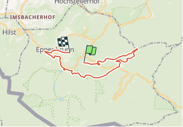

13 km | 16,1 km-effort

Tous les sentiers balisés d’Europe PRO


Application GPS de randonnée GRATUITE
 SityTrail
IGN / Instituts géographiques
SityTrail World
Le monde est à vous
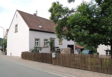
Randonnée A pied de 11,7 km à découvrir à Rhénanie-Palatinat, Südwestpfalz, Eppenbrunn. Cette randonnée est proposée par SityTrail - itinéraires balisés pédestres.
Randonnée créée par PWV.
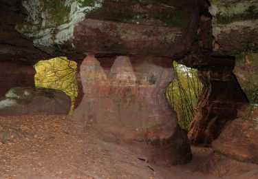
Symbole: Auf Buntsandsteinfels sitzende Eule


Marche
A pied
A pied

A pied
A pied

A pied
A pied

Marche