


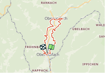

13 km | 22 km-effort

Tous les sentiers balisés d’Europe PRO


Application GPS de randonnée GRATUITE
 SityTrail
IGN / Instituts géographiques
SityTrail World
Le monde est à vous
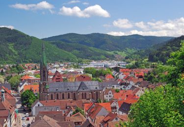
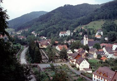
Randonnée A pied de 12,3 km à découvrir à Bade-Wurtemberg, Ortenaukreis, Oberwolfach. Cette randonnée est proposée par SityTrail - itinéraires balisés pédestres.
Symbole: Stilisiertes Schwarzes Auge

A pied
A pied
A pied
Marche

A pied

Marche
A pied

Voiture