


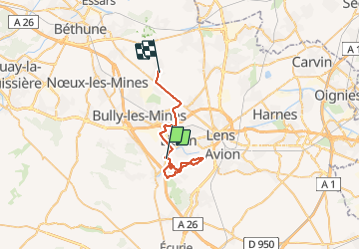

52 km | 61 km-effort

Utilisateur

Application GPS de randonnée GRATUITE
 SityTrail
IGN / Instituts géographiques
SityTrail World
Le monde est à vous
Randonnée Marche de 27 km à découvrir à Hauts-de-France, Pas-de-Calais, Angres. Cette randonnée est proposée par Chene62.
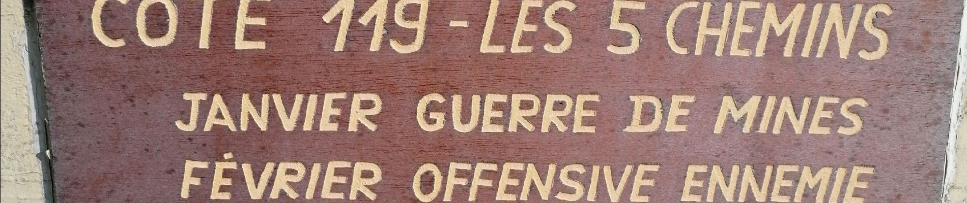
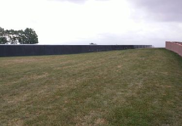
Circuit agréable et boisé
Un peu boueux


Marche
Marche

Autre activité

Autre activité

Course à pied

Marche
Marche
Marche
Marche