Randonnée A pied Bonfol - Bonfol-Damphreux - Photo

Tous les sentiers balisés d’Europe PRO

© OpenStreetMap contributors
Longueur
Longueur
5 km
Altitude max
Altitude max
480 m
Dénivelé positif
Dénivelé positif
62 m
Km-Effort
Km-Effort  
5,9 km
Altitude min
Altitude min
420 m
Dénivelé négatif
Dénivelé négatif
74 m
Boucle
Boucle
Non
Balise
Balise
Date de création :
2022-02-14 08:43:14.005
Dernière modification :
2022-02-14 08:43:14.005

(0 Avis)

A pied
A pied
1h20
Difficulté : Facile

Scannez ce code QR pour ouvrir la randonnée dans l'application SityTrail

Application GPS de randonnée GRATUITE

Logo SityTrail SityTrail

IGN / Instituts géographiques

Télécharger SityTrail sur l'App Store Télécharger SityTrail sur Google Play

Logo SityTrail SityTrail World

Le monde est à vous

Télécharger SityTrail sur l'App Store Télécharger SityTrail sur Google Play Télécharger SityTrail sur Huawei AppGallery

À propos

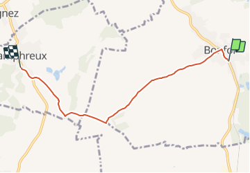
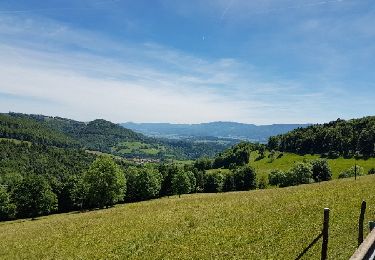
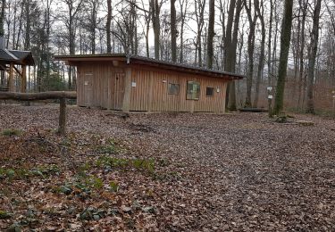
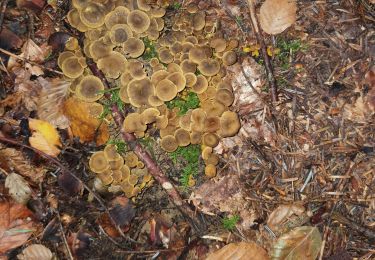
Randonnée A pied de 5 km à découvrir à Jura, District de Porrentruy, Bonfol. Cette randonnée est proposée par SityTrail - itinéraires balisés pédestres.
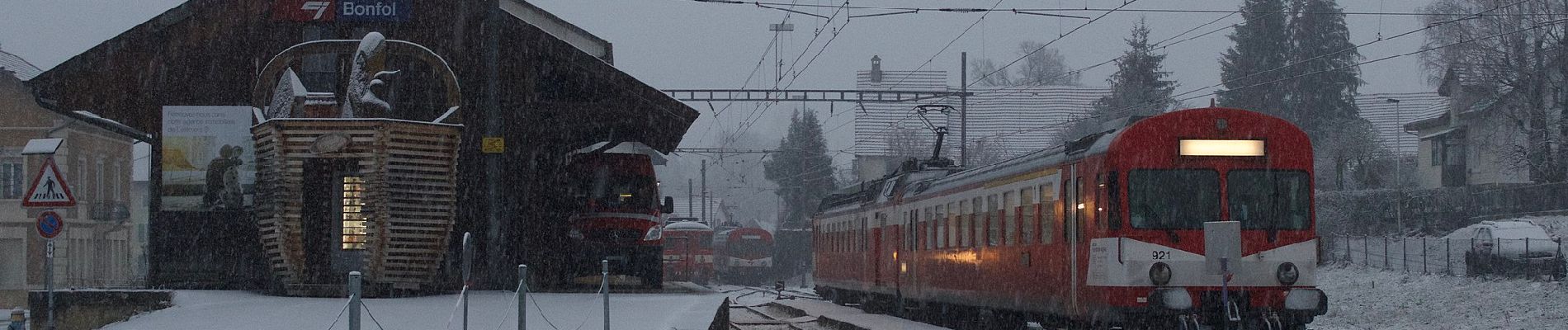
Description

Bonfol-Damphreux

Symbole: gelbe Raute

Photos

Localisation

Pays :
Suisse
Région :
Jura
Département/Province :
District de Porrentruy
Commune :
Bonfol
Localité :
Unknown
Départ:(UTM)
360945 ; 5259578 (32T) N.

Randonnées à proximité

Randonnée Marche Levoncourt - Sortie les Copains d'abord.. 24/03/2022 - Photo
Marche
boubou68

Marche

Moyen
Levoncourt, Grand Est, Haut-Rhin, France
24 km | 34 km-effort
4h 57min
Oui
Randonnée Marche Réchésy - Circuit de Réchésy  - Photo
Marche
tracegps

Marche

Facile
Réchésy, Bourgogne-Franche-Comté, Territoire-de-Belfort, France
4 km | 4,8 km-effort
1h 0min
Oui
Randonnée Vélo Mooslargue - Venetië dag 11 - Photo
Vélo
karawatsj

Vélo

Très difficile
Mooslargue, Grand Est, Haut-Rhin, France
66 km | 99 km-effort
6h 23min
Non
Randonnée Marche Mooslargue - Projet Rando CLAS..NIEDERLARG..16,4 KmD+/- : 250m - Photo
Marche
boubou68

Marche

Très difficile
Mooslargue, Grand Est, Haut-Rhin, France
16,4 km | 19,8 km-effort
4h 29min
Oui
Randonnée sport Pfetterhouse - Marche Buissonniére - Photo
sport
Fillatre

sport

Très facile
Pfetterhouse, Grand Est, Haut-Rhin, France
8,2 km | 10,3 km-effort
Inconnu
Oui
Randonnée Marche Réchésy - rechesy1 - Photo
Marche
bubu90

Marche

Très facile
Réchésy, Bourgogne-Franche-Comté, Territoire-de-Belfort, France
13,8 km | 17,1 km-effort
2h 41min
Oui
Randonnée A pied Mooslargue - Liebsdorf - Photo
A pied
Alain28/01

A pied

Facile
Mooslargue, Grand Est, Haut-Rhin, France
14 km | 17,5 km-effort
3h 58min
Oui
Randonnée Marche La Baroche - chanterelles en tube - Photo
Marche
Hervé Gehrmann

Marche

Facile
La Baroche, Jura, District de Porrentruy, Suisse
1,1 km | 1,2 km-effort
1h 36min
Non
Randonnée V.T.T. Pfetterhouse - michel - Photo
V.T.T.
rolandwin

V.T.T.

Difficile
(1)
Pfetterhouse, Grand Est, Haut-Rhin, France
42 km | 54 km-effort
3h 21min
Oui


Fermer
Mes abonnements