Randonnée A pied Bourg-Saint-Pierre - Via Alpina Red R117 - Photo

Tous les sentiers balisés d’Europe PRO

© OpenStreetMap contributors
Longueur
Longueur
27 km
Altitude max
Altitude max
2491 m
Dénivelé positif
Dénivelé positif
1097 m
Km-Effort
Km-Effort  
46 km
Altitude min
Altitude min
1256 m
Dénivelé négatif
Dénivelé négatif
2314 m
Boucle
Boucle
Non
Balise
Balise
Date de création :
2022-02-14 08:48:58.681
Dernière modification :
2022-02-14 08:48:58.681

(0 Avis)

A pied
A pied
10h25
Difficulté : Très difficile

Scannez ce code QR pour ouvrir la randonnée dans l'application SityTrail

Application GPS de randonnée GRATUITE

Logo SityTrail SityTrail

IGN / Instituts géographiques

Télécharger SityTrail sur l'App Store Télécharger SityTrail sur Google Play

Logo SityTrail SityTrail World

Le monde est à vous

Télécharger SityTrail sur l'App Store Télécharger SityTrail sur Google Play Télécharger SityTrail sur Huawei AppGallery

À propos

Randonnée A pied de 27 km à découvrir à Valais, Entremont, Bourg-Saint-Pierre. Cette randonnée est proposée par SityTrail - itinéraires balisés pédestres.

Description

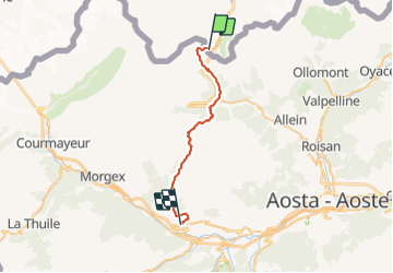
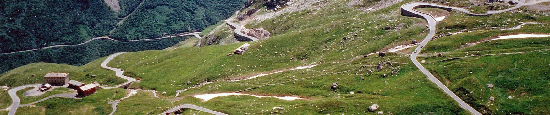
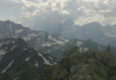
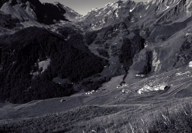
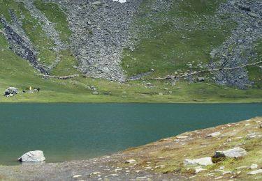
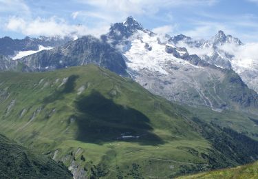
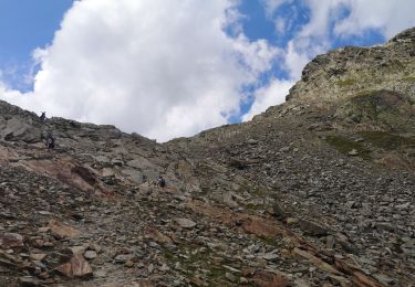
The Via Alpina trail crosses into Italy over the Grand St-Bernard pass and winds along a large number of broad pastures and woodland to the Citrin pass, on the opposite side of the Gran San Bernardo valley. The alpine landscape continues to the valley of Vertosan and the Joux pass, from where there are views of Mount Emilius, the Gran Paradiso range and the Rutor peak.

Site web: http://www.via-alpina.org/en/stage/297

Photos

Localisation

Pays :
Suisse
Région :
Valais
Département/Province :
Entremont
Commune :
Bourg-Saint-Pierre
Localité :
Unknown
Départ:(UTM)
357997 ; 5081159 (32T) N.

Randonnées à proximité

Randonnée Marche Bourg-Saint-Pierre - st. Bernard - Photo
Marche
PurroB

Marche

Très facile
(2)
Bourg-Saint-Pierre, Valais, Entremont, Suisse
44 km | 116 km-effort
6h 17min
Non
Randonnée A pied Saint-Rhémy-en-Bosses - Alta Via n. 1 della Valle d'Aosta - Tappa 15 - Photo
A pied
PRO

A pied

Moyen
Saint-Rhémy-en-Bosses, Vallée d'Aoste, Inconnu, Italie
10,4 km | 21 km-effort
4h 40min
Non
Randonnée A pied Saint-Rhémy-en-Bosses - (SI F11) Saint-Rhémy - Rifugio Champillon - Photo
A pied
PRO

A pied

Moyen
Saint-Rhémy-en-Bosses, Vallée d'Aoste, Inconnu, Italie
14,1 km | 30 km-effort
6h 49min
Non
Randonnée A pied Bourg-Saint-Pierre - Chemins pédestres, région St-Bernard - Photo
A pied
PRO

A pied

Facile
Bourg-Saint-Pierre, Valais, Entremont, Suisse
8,6 km | 18,8 km-effort
4h 15min
Non
Randonnée A pied Orsières - Sentier des Bergers - Photo
A pied
PRO

A pied

Facile
Orsières, Valais, Entremont, Suisse
4,8 km | 9,2 km-effort
2h 5min
Non
Randonnée A pied Bourg-Saint-Pierre - Tour du Lac des Toules - Photo
A pied
PRO

A pied

Moyen
Bourg-Saint-Pierre, Valais, Entremont, Suisse
14,4 km | 25 km-effort
5h 44min
Oui
Randonnée Marche Saint-Rhémy-en-Bosses - col du St Bernard  - Photo
Marche
suzanne.bron

Marche

Facile
Saint-Rhémy-en-Bosses, Vallée d'Aoste, Inconnu, Italie
1,8 km | 4,5 km-effort
2h 21min
Non
Randonnée Ski de randonnée Bourg-Saint-Pierre - col du Grand st Bernard  - Photo
Ski de randonnée
mdvdr

Ski de randonnée

Très facile
Bourg-Saint-Pierre, Valais, Entremont, Suisse
5,1 km | 10,5 km-effort
2h 15min
Non
Randonnée Marche Orsières - TMB 6 - Photo
Marche
pensionisten71

Marche

Moyen
Orsières, Valais, Entremont, Suisse
6,2 km | 7,9 km-effort
1h 46min
Non


Fermer
Mes abonnements