


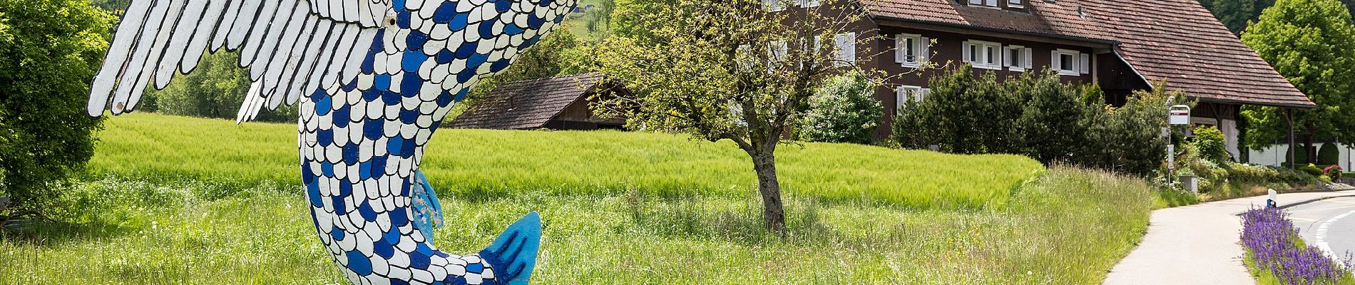
Gishubel - Berghof

SityTrail - itinéraires balisés pédestres
Tous les sentiers balisés d’Europe GUIDE+
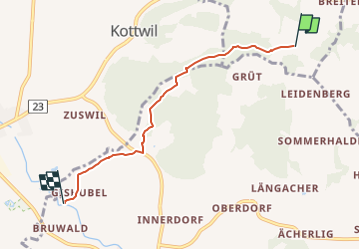


1h18
Difficulté : Facile

Application GPS de randonnée GRATUITE
 SityTrail
IGN / Instituts géographiques
SityTrail Plus
Le monde est à vous
À propos
Randonnée A pied de 4,4 km à découvrir à Lucerne, Inconnu, Mauensee. Cette randonnée est proposée par SityTrail - itinéraires balisés pédestres.
Description
Randonnée créée par Luzerner Wanderwege.
Gishubel - Berghof
Symbole: gelber Rhombus
Photos


Localisation
Commentaires