


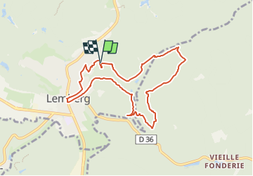

7,8 km | 10,1 km-effort


Tous les sentiers balisés d’Europe PRO


Application GPS de randonnée GRATUITE
 SityTrail
IGN / Instituts géographiques
SityTrail World
Le monde est à vous
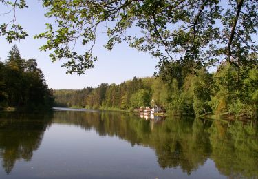
Randonnée A pied de 7,9 km à découvrir à Grand Est, Moselle, Lemberg. Cette randonnée est proposée par SityTrail - itinéraires balisés pédestres.
Randonnée créée par Club vosgien Lemberg.
Formerly marked by a yellow dot.
Symbole: yellow circle with white dot in the middle
Site web: http://www.club-vosgien-lemberg.net/wordpress/?page_id=109


Marche

Marche

Marche
A pied
A pied
A pied

A pied