


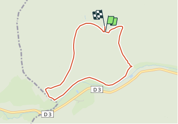

15,6 km | 25 km-effort

Tous les sentiers balisés d’Europe PRO


Application GPS de randonnée GRATUITE
 SityTrail
IGN / Instituts géographiques
SityTrail World
Le monde est à vous
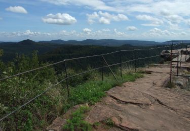
Randonnée A pied de 3,7 km à découvrir à Grand Est, Bas-Rhin, Lembach. Cette randonnée est proposée par SityTrail - itinéraires balisés pédestres.
Randonnée créée par Club Vosgien.


Marche
A pied

A pied
A pied
A pied