


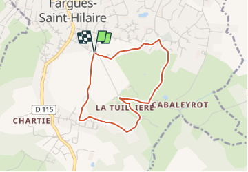

5,7 km | 7 km-effort

Tous les sentiers balisés d’Europe PRO


Application GPS de randonnée GRATUITE
 SityTrail
IGN / Instituts géographiques
SityTrail World
Le monde est à vous
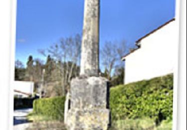
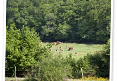
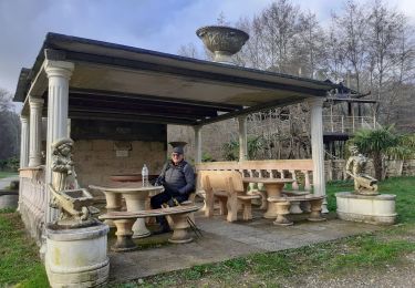
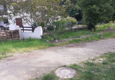
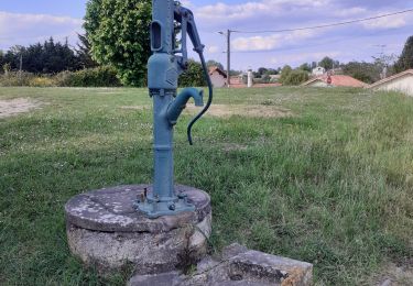
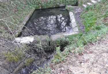
Randonnée A pied de 3,5 km à découvrir à Nouvelle-Aquitaine, Gironde, Fargues-Saint-Hilaire. Cette randonnée est proposée par SityTrail - itinéraires balisés pédestres.


Marche
Marche
Marche
Marche
Marche
Cyclotourisme
Marche
Marche
Marche