


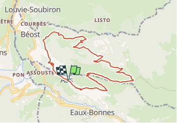

6 km | 9,9 km-effort

Tous les sentiers balisés d’Europe PRO


Application GPS de randonnée GRATUITE
 SityTrail
IGN / Instituts géographiques
SityTrail World
Le monde est à vous
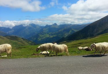
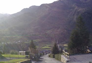
Randonnée A pied de 10,4 km à découvrir à Nouvelle-Aquitaine, Pyrénées-Atlantiques, Eaux-Bonnes. Cette randonnée est proposée par SityTrail - itinéraires balisés pédestres.
Randonnée créée par Communauté de Communes de la Vallée d’Ossau.
Symbole: Trait jaune
Site web: https://www.valleedossau-tourisme.com/randonnees/pedestre/circuits-a-la-journee/


Marche
Marche

A pied
A pied
A pied
A pied
A pied
A pied
A pied