


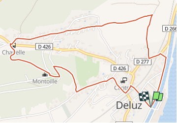

14,4 km | 18,7 km-effort

Tous les sentiers balisés d’Europe PRO


Application GPS de randonnée GRATUITE
 SityTrail
IGN / Instituts géographiques
SityTrail World
Le monde est à vous
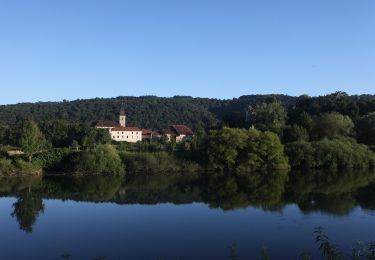
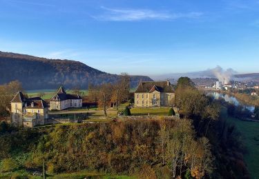
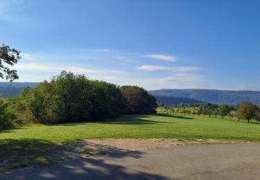
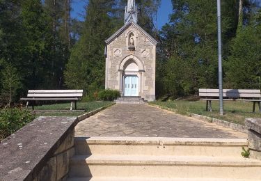
Randonnée A pied de 3,2 km à découvrir à Bourgogne-Franche-Comté, Doubs, Deluz. Cette randonnée est proposée par SityTrail - itinéraires balisés pédestres.
Activités Outdoor - Grand Besançon
Site web: http://www.grandes-heures-nature.fr/


Marche
A pied

A pied
A pied
A pied
Marche
Marche
A pied
A pied