


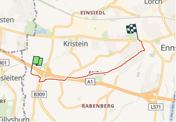

7,7 km | 9,3 km-effort

Tous les sentiers balisés d’Europe PRO


Application GPS de randonnée GRATUITE
 SityTrail
IGN / Instituts géographiques
SityTrail World
Le monde est à vous
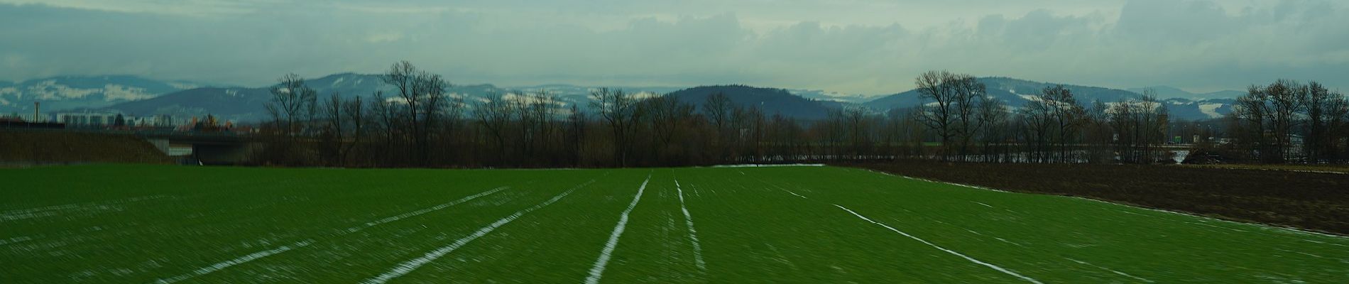
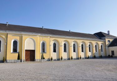
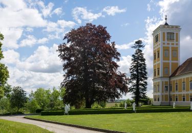
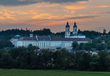
Randonnée A pied de 3,8 km à découvrir à Haute-Autriche, Bezirk Linz-Land, Enns. Cette randonnée est proposée par SityTrail - itinéraires balisés pédestres.
Symbole: Weiße Richtungstafel mit weißem Kreuz auf blauer Welle, daneben eine rote Sonne (meistens aber schon weiß verblaßt)


A pied
A pied
A pied
A pied

A pied

Cyclotourisme
Vélo