Randonnée A pied Wilhering - Sternweg Dörnbach-Linde - Photo

Tous les sentiers balisés d’Europe PRO

© OpenStreetMap contributors
Longueur
Longueur
3,6 km
Altitude max
Altitude max
369 m
Dénivelé positif
Dénivelé positif
75 m
Km-Effort
Km-Effort  
4,5 km
Altitude min
Altitude min
301 m
Dénivelé négatif
Dénivelé négatif
47 m
Boucle
Boucle
Non
Balise
Balise
Date de création :
2022-02-16 16:57:38.443
Dernière modification :
2022-03-03 14:45:14.155

(0 Avis)

A pied
A pied
1h01
Difficulté : Facile

Scannez ce code QR pour ouvrir la randonnée dans l'application SityTrail

Application GPS de randonnée GRATUITE

Logo SityTrail SityTrail

IGN / Instituts géographiques

Télécharger SityTrail sur l'App Store Télécharger SityTrail sur Google Play

Logo SityTrail SityTrail World

Le monde est à vous

Télécharger SityTrail sur l'App Store Télécharger SityTrail sur Google Play Télécharger SityTrail sur Huawei AppGallery

À propos

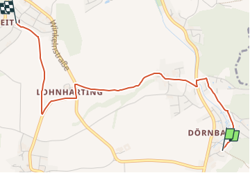
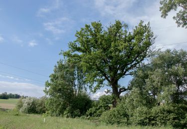
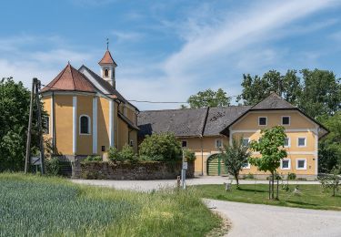
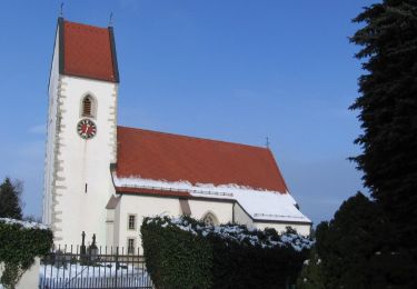
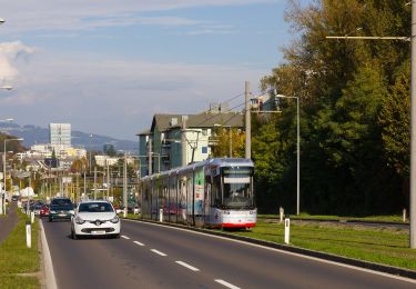
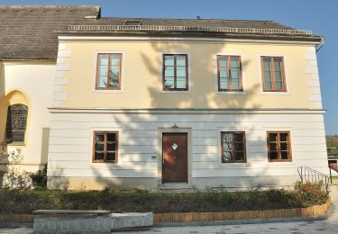
Randonnée A pied de 3,6 km à découvrir à Haute-Autriche, Bezirk Linz-Land, Wilhering. Cette randonnée est proposée par SityTrail - itinéraires balisés pédestres.

Description

Symbole: Edelstahlplatte mit gelber Beschriftung der nächsten Ziele, Wanderer und kleine Pfeile

Photos

Localisation

Pays :
Autriche
Région :
Haute-Autriche
Département/Province :
Bezirk Linz-Land
Commune :
Wilhering
Localité :
Unknown
Départ:(UTM)
440870 ; 5347787 (33U) N.

Randonnées à proximité

Randonnée A pied Goldwörth - Amerika-Runde - Photo
A pied
PRO

A pied

Facile
Goldwörth, Haute-Autriche, Bezirk Urfahr-Umgebung, Autriche
8,9 km | 9,9 km-effort
2h 14min
Oui
Randonnée A pied Wilhering - Sternweg Wilhering-Linde - Photo
A pied
PRO

A pied

Facile
Wilhering, Haute-Autriche, Bezirk Linz-Land, Autriche
4,8 km | 6,8 km-effort
1h 33min
Non
Randonnée A pied Wilhering - Sternweg Dörnbach-Appersberg - Photo
A pied
PRO

A pied

Facile
Wilhering, Haute-Autriche, Bezirk Linz-Land, Autriche
3,6 km | 4,6 km-effort
1h 2min
Oui
Randonnée A pied Alkoven - Naturfreundeweg - Photo
A pied
PRO

A pied

Moyen
Alkoven, Haute-Autriche, Bezirk Eferding, Autriche
16,8 km | 20 km-effort
4h 38min
Non
Randonnée A pied Kirchberg-Thening - Rundwanderweg Thening - Photo
A pied
PRO

A pied

Facile
Kirchberg-Thening, Haute-Autriche, Bezirk Linz-Land, Autriche
9,4 km | 11,4 km-effort
2h 35min
Oui
Randonnée A pied Pasching - Pasching Süd - Photo
A pied
PRO

A pied

Facile
Pasching, Haute-Autriche, Bezirk Linz-Land, Autriche
9,2 km | 10,1 km-effort
2h 17min
Oui
Randonnée A pied Leonding - Zaubertalrunde - Photo
A pied
PRO

A pied

Facile
Leonding, Haute-Autriche, Bezirk Linz-Land, Autriche
12,5 km | 15,7 km-effort
3h 34min
Oui
Randonnée A pied Kirchberg-Thening - Rundwanderweg Kirchberg Thening 1 - Photo
A pied
PRO

A pied

Facile
Kirchberg-Thening, Haute-Autriche, Bezirk Linz-Land, Autriche
9,8 km | 12,2 km-effort
2h 46min
Oui
Randonnée A pied Leonding - Kürnberg-Wanderweg - Photo
A pied
PRO

A pied

Facile
Leonding, Haute-Autriche, Bezirk Linz-Land, Autriche
5,1 km | 6,7 km-effort
1h 31min
Oui


Fermer
Mes abonnements