


7,9 km | 9,4 km-effort


Utilisateur


Application GPS de randonnée GRATUITE
 SityTrail
IGN / Instituts géographiques
SityTrail World
Le monde est à vous
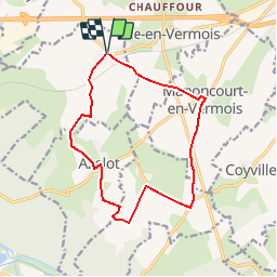
Randonnée Marche de 13 km à découvrir à Grand Est, Meurthe-et-Moselle, Lupcourt. Cette randonnée est proposée par joelclaudel.
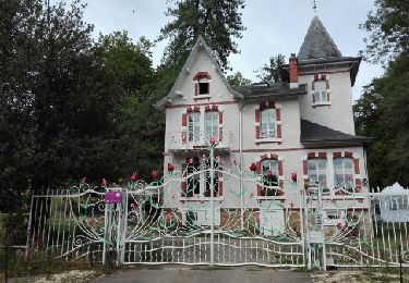
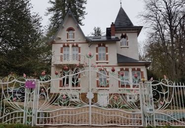
Départ château de Lupcourt, Azelot, Burthécourt aux Chênes, Manoncourt en Vermois.
Balisage rectangle jaune jusqu'à Manoncourt, puis GR "autour de Nancy" pour la fin du parcours.
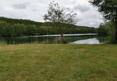
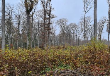
Randonnée sans forêt, à éviter en été en plein soleiL

A pied
Marche
Marche

V.T.T.
V.T.T.
Marche
Marche
Marche
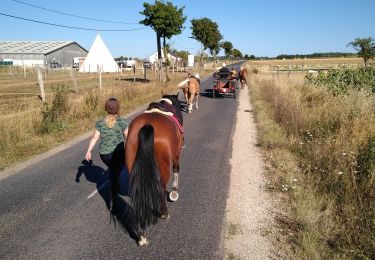
Attelage