Randonnée Marche Saint-Quentin-sur-Isère - 38 St Quentin sur isere - Photo
 himba26100
himba26100

Utilisateur

© OpenStreetMap contributors
Longueur
Longueur
17 km
Altitude max
Altitude max
990 m
Dénivelé positif
Dénivelé positif
859 m
Km-Effort
Km-Effort  
28 km
Altitude min
Altitude min
267 m
Dénivelé négatif
Dénivelé négatif
859 m
Boucle
Boucle
Oui
Date de création :
2022-03-13 08:04:42.303
Dernière modification :
2022-03-13 15:28:00.454

(0 Avis)

Marche
Marche
7h22
Difficulté : Moyen

Scannez ce code QR pour ouvrir la randonnée dans l'application SityTrail

Application GPS de randonnée GRATUITE

Logo SityTrail SityTrail

IGN / Instituts géographiques

Télécharger SityTrail sur l'App Store Télécharger SityTrail sur Google Play

Logo SityTrail SityTrail World

Le monde est à vous

Télécharger SityTrail sur l'App Store Télécharger SityTrail sur Google Play Télécharger SityTrail sur Huawei AppGallery

À propos

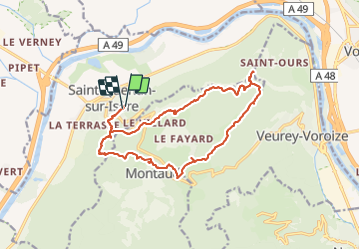
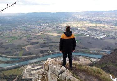
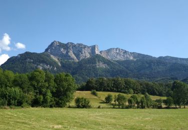
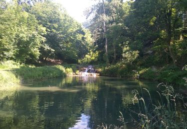
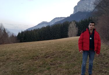
Randonnée Marche de 17 km à découvrir à Auvergne-Rhône-Alpes, Isère, Saint-Quentin-sur-Isère. Cette randonnée est proposée par himba26100.

Description

gêne
belle rando variée

Profil altimétrique

Photos

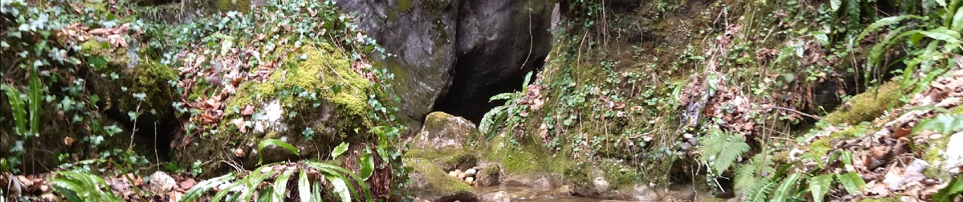
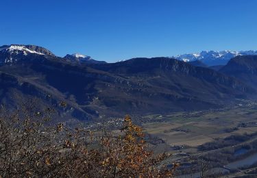
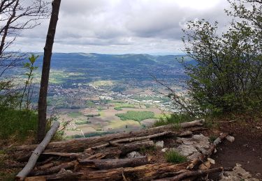
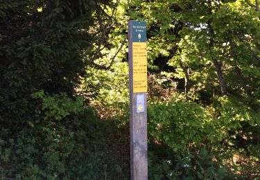
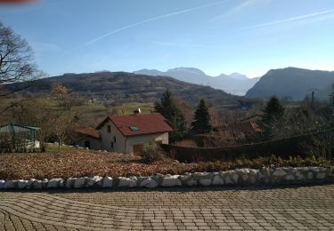
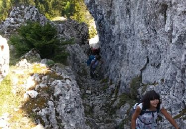
21 photos au total. Cliquez sur une photo pour les afficher toutes dans la galerie.

Localisation

Pays :
France
Région :
Auvergne-Rhône-Alpes
Département/Province :
Isère
Commune :
Saint-Quentin-sur-Isère
Localité :
Unknown
Départ:(UTM)
700144 ; 5017140 (31T) N.

Randonnées à proximité

Randonnée Marche Saint-Quentin-sur-Isère - Dent de Moirans - Photo
Marche
GuyVachet

Marche

Très difficile
Saint-Quentin-sur-Isère, Auvergne-Rhône-Alpes, Isère, France
14,7 km | 26 km-effort
6h 17min
Oui
Randonnée Marche Montaud - La Dent de Moirans - Photo
Marche
patjobou

Marche

Facile
Montaud, Auvergne-Rhône-Alpes, Isère, France
11 km | 16,4 km-effort
4h 38min
Oui
Randonnée Marche Montaud - La dent de Moirans - Photo
Marche
crocau

Marche

Très facile
(1)
Montaud, Auvergne-Rhône-Alpes, Isère, France
8,9 km | 13,5 km-effort
2h 57min
Oui
Randonnée Marche Montaud - BOUCLE MONTAUD DE T DE MOIRANS - Photo
Marche
floup6138

Marche

Moyen
Montaud, Auvergne-Rhône-Alpes, Isère, France
11,1 km | 16,7 km-effort
3h 12min
Oui
Randonnée Marche Saint-Quentin-sur-Isère - st Quentin montaud boucle - Photo
Marche
floup6138

Marche

Moyen
Saint-Quentin-sur-Isère, Auvergne-Rhône-Alpes, Isère, France
8,9 km | 16,3 km-effort
2h 58min
Oui
Randonnée Marche Noyarey - Ezy Montaud par les chemins communaux - Photo
Marche
crocau

Marche

Très facile
(1)
Noyarey, Auvergne-Rhône-Alpes, Isère, France
6,5 km | 10,6 km-effort
1h 51min
Oui
Randonnée Marche Montaud - Pas Brochier  - Photo
Marche
ajd26

Marche

Très difficile
Montaud, Auvergne-Rhône-Alpes, Isère, France
11,5 km | 27 km-effort
6h 0min
Oui
Randonnée Marche Montaud - DENT DE MOIRANS GROUPE 1 - Photo
Marche
floup6138

Marche

Difficile
Montaud, Auvergne-Rhône-Alpes, Isère, France
12,7 km | 21 km-effort
4h 14min
Oui
Randonnée Marche Montaud - bec deLorient - Photo
Marche
patchil

Marche

Très facile
(1)
Montaud, Auvergne-Rhône-Alpes, Isère, France
16 km | 30 km-effort
5h 54min
Non


Fermer
Mes abonnements