


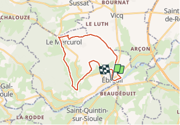

13,4 km | 17,9 km-effort

Utilisateur


Application GPS de randonnée GRATUITE
 SityTrail
IGN / Instituts géographiques
SityTrail World
Le monde est à vous
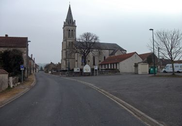
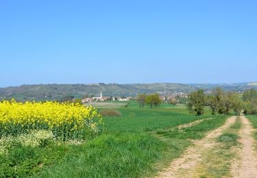
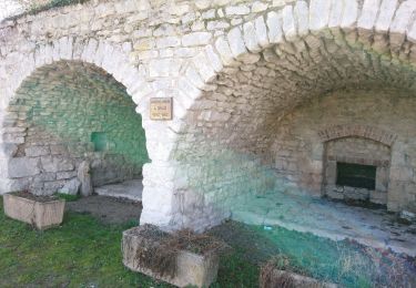
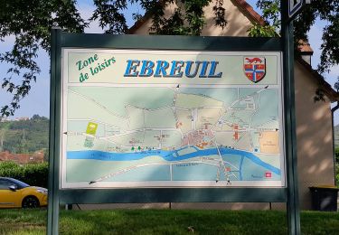
Randonnée Marche de 14 km à découvrir à Auvergne-Rhône-Alpes, Allier, Ébreuil. Cette randonnée est proposée par Gegetop.
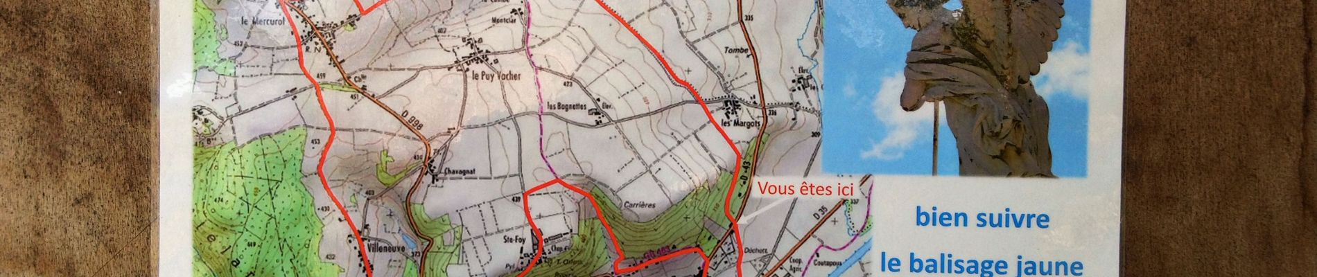
Nouveau circuit un peu plus court que le précédent.

A pied
Marche
Marche
Marche

Marche
Marche

V.T.T.
Marche
Vélo électrique