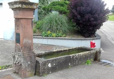
Randonnée Marche Lembach - Gimbelhof et Fleckenstein - Lembach - Photo

Gimbelhof et Fleckenstein - Lembach

 tracegps
tracegps

Utilisateur

© OpenStreetMap contributors
Longueur
Longueur
9,9 km
Altitude max
Altitude max
550 m
Dénivelé positif
Dénivelé positif
439 m
Km-Effort
Km-Effort  
15,8 km
Altitude min
Altitude min
291 m
Dénivelé négatif
Dénivelé négatif
440 m
Boucle
Boucle
Oui
Date de création :
2014-12-10 00:00:00.0
Dernière modification :
2014-12-10 00:00:00.0

(0 Avis)

Marche
Marche
2h49
Difficulté : Moyen

Scannez ce code QR pour ouvrir la randonnée dans l'application SityTrail

Application GPS de randonnée GRATUITE

Logo SityTrail SityTrail

IGN / Instituts géographiques

Télécharger SityTrail sur l'App Store Télécharger SityTrail sur Google Play

Logo SityTrail SityTrail World
Le monde est à vous

Télécharger SityTrail sur l'App Store Télécharger SityTrail sur Google Play Télécharger SityTrail sur Huawei AppGallery

À propos

Randonnée Marche de 9,9 km à découvrir à Grand Est, Bas-Rhin, Lembach. Cette randonnée est proposée par tracegps.

Description

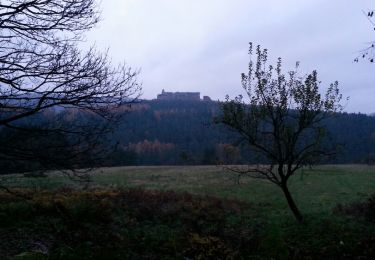
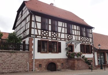
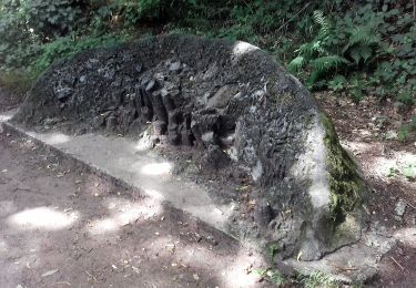
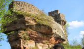
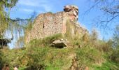
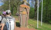
La randonnée démarre sur le parking de l’Auberge du Gimbelhof. Suivre disque bleu jusqu’au col du Litschhof, puis tourner à gauche et suivre rectangle rouge jusqu’au carrefour du Schlossberg. De là, suivre triangle rouge à droite pour monter au château de Loewenstein, puis le château de Hohenbourg. Descendre vers la frontière où se trouve le Kaiser Wilhelm Stein. Monter vers le château de Wegelnburg en Allemagne, en suivant rectangle bleu. Descendre vers Hirschthal et à l’arrivée à l’orée de la forêt, quitter le rectangle bleu, pour, sur un chemin non balisé, rejoindre l’aire de repos et de pique-nique au pied du château de Fleckenstein. De là remonter par le sentier des roches sur le Langenfels vers le carrefour de Schlossberg avant de redescendre vers le Gimbelhof en suivant le balisage disque bleu.

Profil altimétrique

Photos

Localisation

Pays :
France
Région :
Grand Est
Département/Province :
Bas-Rhin
Commune :
Lembach
Localité :
Unknown
Départ:(Dec)
Départ:(UTM)
411385 ; 5433418 (32U) N.

Randonnées à proximité

Randonnée Randonnée équestre Wingen - Boucle Loewenstein Hohenbourg Fleckenstein - Photo
Randonnée équestre
GUIDE+

Randonnée équestre

Moyen
(1)
Wingen, Grand Est, Bas-Rhin, France
18,4 km | 26 km-effort
3h 8min
Oui
Randonnée Marche Lembach - Fleckenstein, circuit des 5 châteaux. - Photo
Marche
mitch1915

Marche

Difficile
(1)
Lembach, Grand Est, Bas-Rhin, France
15,6 km | 25 km-effort
5h 6min
Oui
Randonnée A pied Lembach - Anneau vert - Photo
A pied
PRO

A pied

Facile
Lembach, Grand Est, Bas-Rhin, France
3,8 km | 5,2 km-effort
1h 10min
Oui
Randonnée A pied Lembach - Anneau jaune - Photo
A pied
PRO

A pied

Facile
Lembach, Grand Est, Bas-Rhin, France
6,4 km | 9,3 km-effort
2h 6min
Oui
Randonnée A pied Wingen - Croix rouge - Photo
A pied
PRO

A pied

Facile
Wingen, Grand Est, Bas-Rhin, France
5,4 km | 7,4 km-effort
1h 41min
Non
Randonnée A pied Lembach - Croix bleue - Photo
A pied
PRO

A pied

Facile
Lembach, Grand Est, Bas-Rhin, France
12,8 km | 18,4 km-effort
4h 10min
Non
Randonnée A pied Wingen - Anneau rouge - Photo
A pied
PRO

A pied

Facile
Wingen, Grand Est, Bas-Rhin, France
6,4 km | 9 km-effort
2h 2min
Oui
Randonnée A pied Lembach - Disque bleu - Photo
A pied
PRO

A pied

Facile
Lembach, Grand Est, Bas-Rhin, France
8,3 km | 11,2 km-effort
2h 32min
Non
Randonnée A pied Lembach - Croix rouge - Photo
A pied
PRO

A pied

Facile
Lembach, Grand Est, Bas-Rhin, France
4 km | 5,5 km-effort
1h 15min
Oui


Fermer
Mes abonnements