


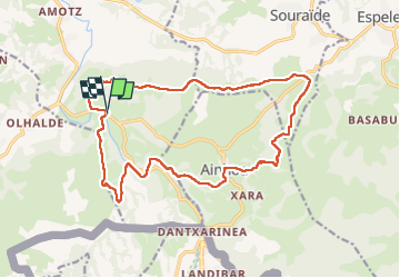

6,6 km | 8,9 km-effort

Utilisateur GUIDE


Application GPS de randonnée GRATUITE
 SityTrail
IGN / Instituts géographiques
SityTrail World
Le monde est à vous
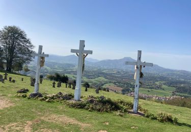
Randonnée Marche de 19,3 km à découvrir à Nouvelle-Aquitaine, Pyrénées-Atlantiques, Saint-Pée-sur-Nivelle. Cette randonnée est proposée par antignacs.
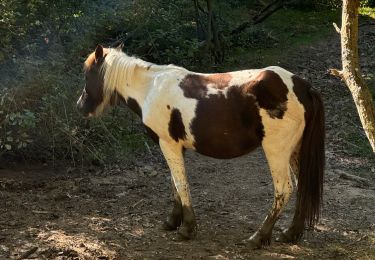
Trouver un autre départ car barbelés plus plus et passage obligé à travers prés difficile


Marche

Course à pied

Marche nordique

Marche
Marche
Marche
Marche


sport
Marche