


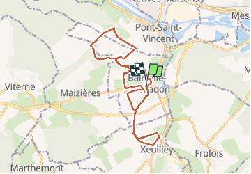

18,3 km | 23 km-effort


Utilisateur


Application GPS de randonnée GRATUITE
 SityTrail
IGN / Instituts géographiques
SityTrail World
Le monde est à vous
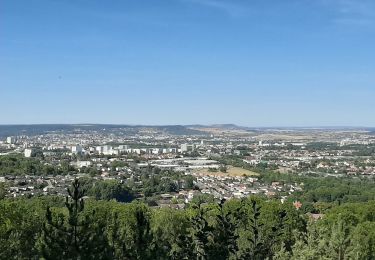
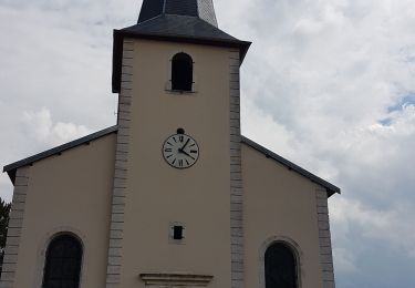
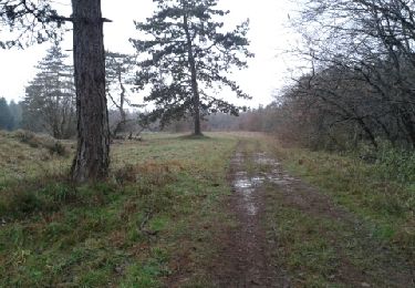
Randonnée Marche de 15,7 km à découvrir à Grand Est, Meurthe-et-Moselle, Bainville-sur-Madon. Cette randonnée est proposée par micksop.
boucle Bainville-Xeuilley-Pont St Vincent

Marche
Marche
Marche
Marche nordique
Marche nordique
Marche
Marche
Marche
Marche