


4 km | 5,4 km-effort

Utilisateur


Application GPS de randonnée GRATUITE
 SityTrail
IGN / Instituts géographiques
SityTrail World
Le monde est à vous
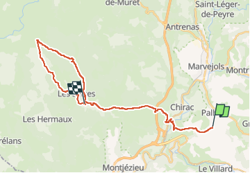
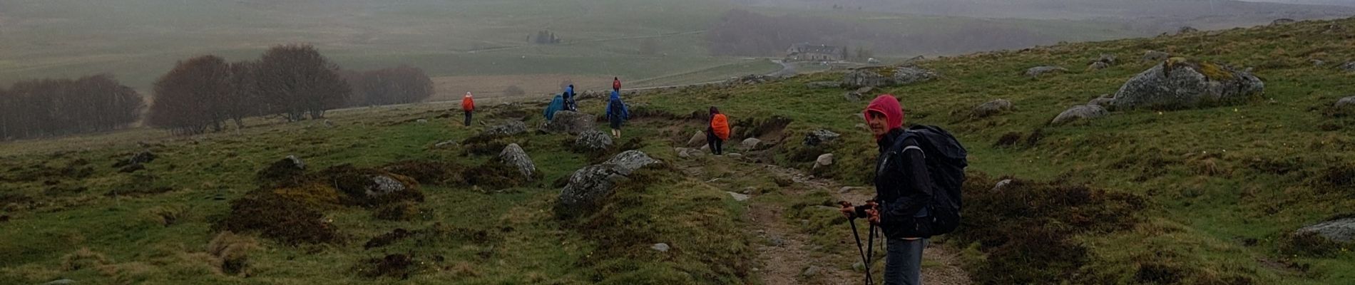
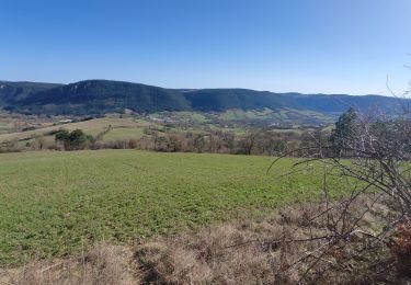
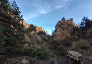
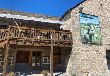
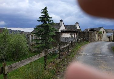
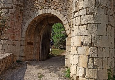
Randonnée Marche de 30 km à découvrir à Occitanie, Lozère, Palhers. Cette randonnée est proposée par bymarc26.
fait à l'envers pour échange de véhicule avec un autre groupe


Moto

Marche
Marche
Marche
V.T.T.
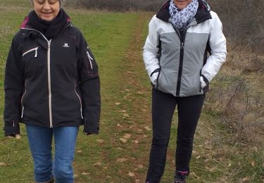
Marche
Marche