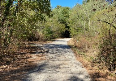
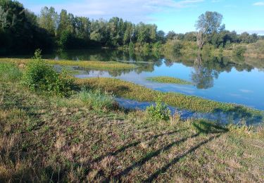
Randonnée Marche Blanquefort - Blanquefort/ Le Pian-Medoc - Photo

Blanquefort/ Le Pian-Medoc

 bedous
bedous

Utilisateur

© OpenStreetMap contributors
Longueur
Longueur
14,6 km
Altitude max
Altitude max
44 m
Dénivelé positif
Dénivelé positif
97 m
Km-Effort
Km-Effort  
15,9 km
Altitude min
Altitude min
17 m
Dénivelé négatif
Dénivelé négatif
96 m
Boucle
Boucle
Oui
Date de création :
2022-05-19 08:01:02.341
Dernière modification :
2022-05-19 17:02:48.252

(0 Avis)

Marche
Marche
4h00
Difficulté : Moyen

Scannez ce code QR pour ouvrir la randonnée dans l'application SityTrail

Application GPS de randonnée GRATUITE

Logo SityTrail SityTrail

IGN / Instituts géographiques

Télécharger SityTrail sur l'App Store Télécharger SityTrail sur Google Play

Logo SityTrail SityTrail World

Le monde est à vous

Télécharger SityTrail sur l'App Store Télécharger SityTrail sur Google Play Télécharger SityTrail sur Huawei AppGallery

À propos

Randonnée Marche de 14,6 km à découvrir à Nouvelle-Aquitaine, Gironde, Blanquefort. Cette randonnée est proposée par bedous.

Description

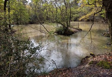
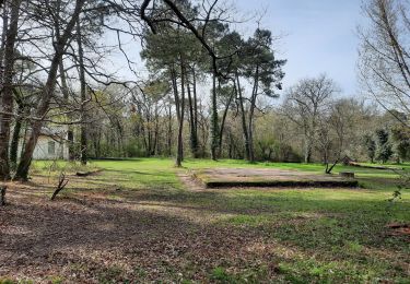
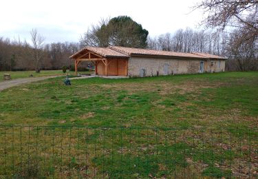
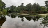
Magnifique randonnée à faire de préférence au printemps, début d'été pour profiter de la flore. Eviter les temps pluvieux. Puis, en période estivale car la plus grande partie du parcours s'effectue en sous bois par sentiers ou pistes. Le pique nique en bord d'étang est des plus .....plus.
Rando. à ne pas manquer !

Profil altimétrique

Photos

Localisation

Pays :
France
Région :
Nouvelle-Aquitaine
Département/Province :
Gironde
Commune :
Blanquefort
Localité :
Unknown
Départ:(UTM)
684954 ; 4977090 (30T) N.

Randonnées à proximité

Randonnée Marche Blanquefort - Pnl Tanais - Photo
Marche
bouscat110

Marche

Moyen
(1)
Blanquefort, Nouvelle-Aquitaine, Gironde, France
10,3 km | 11,4 km-effort
3h 55min
Oui
Randonnée Marche Blanquefort - Tanais finalisé - Photo
Marche
jara

Marche

Très facile
Blanquefort, Nouvelle-Aquitaine, Gironde, France
19,3 km | 21 km-effort
5h 24min
Oui
Randonnée Marche Bruges - JFT YB ETAPE 15 13-5-2014  - Photo
Marche
jeff2

Marche

Facile
Bruges, Nouvelle-Aquitaine, Gironde, France
17,2 km | 18,7 km-effort
3h 55min
Non
Randonnée Moteur Bruges - Escapade en Charente 2012 - Photo
Moteur
roadflyer33

Moteur

Très facile
Bruges, Nouvelle-Aquitaine, Gironde, France
245 km | 280 km-effort
Inconnu
Oui
Randonnée Marche Le Taillan-Médoc - 2010-09-02 - 19h41m27 - Photo
Marche
dpajak

Marche

Très facile
Le Taillan-Médoc, Nouvelle-Aquitaine, Gironde, France
8,5 km | 9,3 km-effort
Inconnu
Oui
Randonnée Marche Eysines - GR Bordeaux Métropole. EYSINES MAGUDAS. - Photo
Marche
piba2

Marche

Très facile
Eysines, Nouvelle-Aquitaine, Gironde, France
16,1 km | 17,7 km-effort
3h 37min
Non
Randonnée Marche Parempuyre - Parempuyre  - Photo
Marche
PatrickBEGUIN

Marche

Facile
Parempuyre, Nouvelle-Aquitaine, Gironde, France
4,5 km | 5 km-effort
1h 39min
Oui
Randonnée Marche Saint-Médard-en-Jalles - Dehes  - Photo
Marche
PatrickBEGUIN

Marche

Moyen
Saint-Médard-en-Jalles, Nouvelle-Aquitaine, Gironde, France
6,1 km | 6,7 km-effort
3h 0min
Oui
Randonnée Marche Le Taillan-Médoc - le  Taillan - Photo
Marche
PatrickBEGUIN

Marche

Moyen
Le Taillan-Médoc, Nouvelle-Aquitaine, Gironde, France
5,9 km | 6,5 km-effort
2h 22min
Oui


Fermer
Mes abonnements