


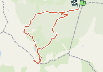


11,9 km | 23 km-effort

Utilisateur


Application GPS de randonnée GRATUITE
 SityTrail
IGN / Instituts géographiques
SityTrail World
Le monde est à vous
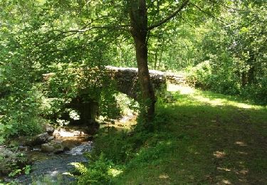
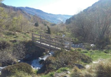
Randonnée Marche de 13 km à découvrir à Occitanie, Ariège, Rabat-les-Trois-Seigneurs. Cette randonnée est proposée par bellouelo46.


Marche

Marche

Marche
Marche
Marche
Marche

Marche
Marche