


22 km | 30 km-effort


Utilisateur


Application GPS de randonnée GRATUITE
 SityTrail
IGN / Instituts géographiques
SityTrail World
Le monde est à vous
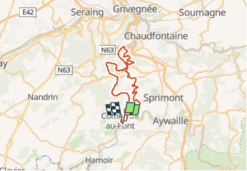
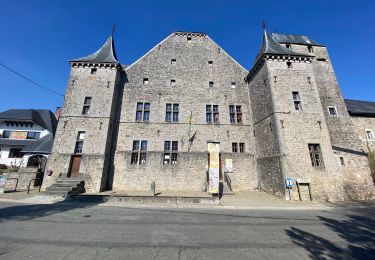
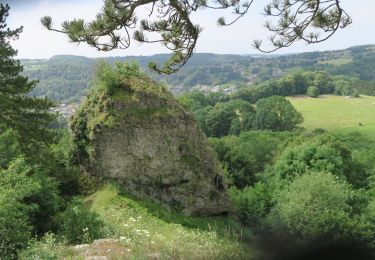
Randonnée V.T.T. de 46 km à découvrir à Wallonie, Liège, Comblain-au-Pont. Cette randonnée est proposée par jeanphi.hennebert.
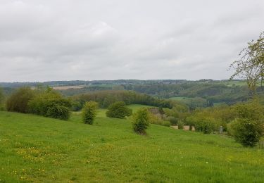
Boucle le long de l'Ourthe retour villages
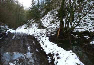
Marche
Marche
Marche
Marche
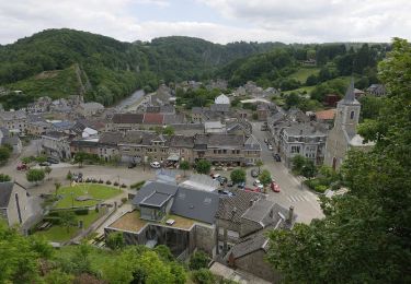
![Randonnée Marche Comblain-au-Pont - Comblain-au-Pont [n°9] - Photo](https://media.geolcdn.com/t/375/260/ext.jpg?maxdim=2&url=https%3A%2F%2Fmedia.geolcdn.com%2Ff%2Fedfd852c-0012-45e6-9a23-c8c8cd48cf84.jpg)
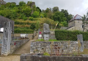
Marche
A pied

Marche
Marche
Marche