


22 km | 29 km-effort


Utilisateur


Application GPS de randonnée GRATUITE
 SityTrail
IGN / Instituts géographiques
SityTrail World
Le monde est à vous
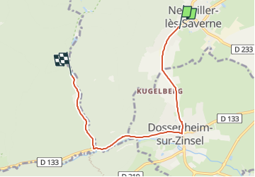
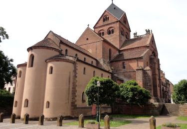
Randonnée Voiture de 5,2 km à découvrir à Grand Est, Bas-Rhin, Neuwiller-lès-Saverne. Cette randonnée est proposée par milou1941.
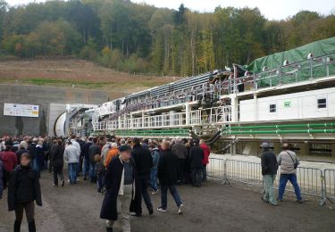
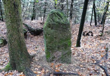
à pied ou en voiture-ne pas rater l' entrée de la route forestière ( pas très lisible )
Randonnée équestre
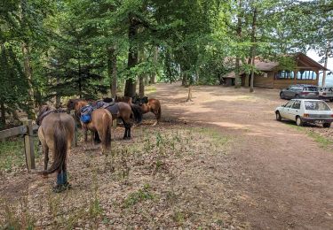
Randonnée équestre
A pied
A pied

A pied
A pied
A pied
A pied
A pied