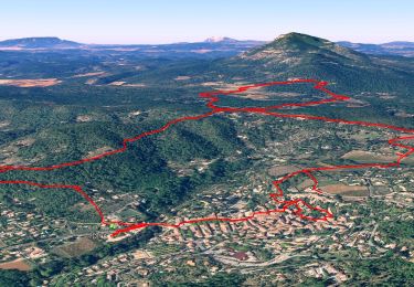
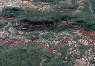
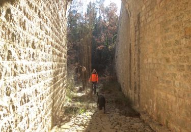
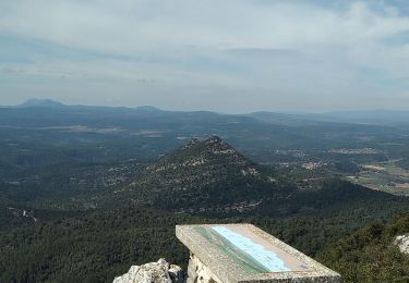
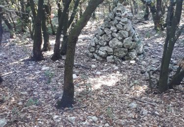
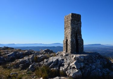
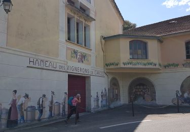
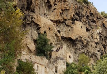
Randonnée Marche Cotignac - Cotignac - Les chapelles - Habitat Troglodyte - (V1 longue) - Photo

Cotignac - Les chapelles - Habitat Troglodyte - (V1 longue)

 affinetataille
affinetataille

Utilisateur GUIDE

© OpenStreetMap contributors
Longueur
Longueur
14,9 km
Altitude max
Altitude max
449 m
Dénivelé positif
Dénivelé positif
386 m
Km-Effort
Km-Effort  
20 km
Altitude min
Altitude min
220 m
Dénivelé négatif
Dénivelé négatif
387 m
Boucle
Boucle
Oui
Date de création :
2022-06-28 10:56:26.306
Dernière modification :
2023-06-16 08:03:47.338

(1 Avis)

Marche
Marche
6h00
Difficulté : Moyen

Scannez ce code QR pour ouvrir la randonnée dans l'application SityTrail

Application GPS de randonnée GRATUITE

Logo SityTrail SityTrail

IGN / Instituts géographiques

Télécharger SityTrail sur l'App Store Télécharger SityTrail sur Google Play

Logo SityTrail SityTrail World

Le monde est à vous

Télécharger SityTrail sur l'App Store Télécharger SityTrail sur Google Play Télécharger SityTrail sur Huawei AppGallery

À propos

Randonnée Marche de 14,9 km à découvrir à Provence-Alpes-Côte d'Azur, Var, Cotignac. Cette randonnée est proposée par affinetataille.

Profil altimétrique

Photos

42 photos au total. Cliquez sur une photo pour les afficher toutes dans la galerie.

Localisation

Pays :
France
Région :
Provence-Alpes-Côte d'Azur
Département/Province :
Var
Commune :
Cotignac
Localité :
Unknown
Départ:(Dec)
Départ:(UTM)
269338 ; 4822725 (32T) N.

Commentaires

Veuillez vous connecter pour laisser un commentaire ou une note


Randonnées à proximité

Randonnée Marche Cotignac - Cotignac - Les chapelles - Habitat Troglodyte - (V2 courte) - Photo
Marche
GUIDE
affinetataille

Marche

Facile
(2)
Cotignac, Provence-Alpes-Côte d'Azur, Var, France
10,2 km | 13,9 km-effort
3h 0min
Oui
Randonnée Marche Sillans-la-Cascade - Traversée Sillans - Cascade - Chemin du train des pignes - Ruines chateau Salernes -  Piscine Salerne - Bord de rivière - Chapelle St Laurent - Photo
Marche
GUIDE
affinetataille

Marche

Moyen
(1)
Sillans-la-Cascade, Provence-Alpes-Côte d'Azur, Var, France
15,1 km | 20 km-effort
6h 0min
Oui
Randonnée Marche Sillans-la-Cascade - Caseneuve - Photo
Marche
bernardvdb

Marche

Très facile
(1)
Sillans-la-Cascade, Provence-Alpes-Côte d'Azur, Var, France
5,7 km | 7,1 km-effort
1h 55min
Oui
Randonnée Marche Cotignac - Tour du gros Bessillon - Photo
Marche
Migueldefrance

Marche

Moyen
Cotignac, Provence-Alpes-Côte d'Azur, Var, France
14,3 km | 21 km-effort
4h 31min
Oui
Randonnée Marche Cotignac - Gros Bessillon, Cotignac - Photo
Marche
GrouGary

Marche

Facile
Cotignac, Provence-Alpes-Côte d'Azur, Var, France
11,9 km | 18,1 km-effort
4h 0min
Oui
Randonnée Marche Cotignac - Cotignac - Gros Bessillon - Monastère St Joseph - ND de Grâce - Photo
Marche
LtZIP

Marche

Moyen
Cotignac, Provence-Alpes-Côte d'Azur, Var, France
19,4 km | 27 km-effort
4h 23min
Oui
Randonnée Marche Carcès - CARCES - CASCADES DU CARAMY - Photo
Marche
jean-marie.parachini

Marche

Facile
Carcès, Provence-Alpes-Côte d'Azur, Var, France
16,8 km | 21 km-effort
10h 41min
Oui
Randonnée A pied Cotignac - decouverte de cotignac -cascade-chemin des chapelles - Photo
A pied

A pied

Très facile
(1)
Cotignac, Provence-Alpes-Côte d'Azur, Var, France
12,6 km | 17,1 km-effort
Inconnu
Oui
Randonnée Marche Cotignac - cotignac - Photo
Marche
sonneville

Marche

Très facile
Cotignac, Provence-Alpes-Côte d'Azur, Var, France
12,7 km | 17 km-effort
6h 40min
Oui


Fermer
Mes abonnements