


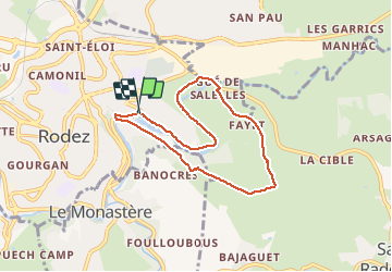

39 km | 51 km-effort

Utilisateur


Application GPS de randonnée GRATUITE
 SityTrail
IGN / Instituts géographiques
SityTrail World
Le monde est à vous
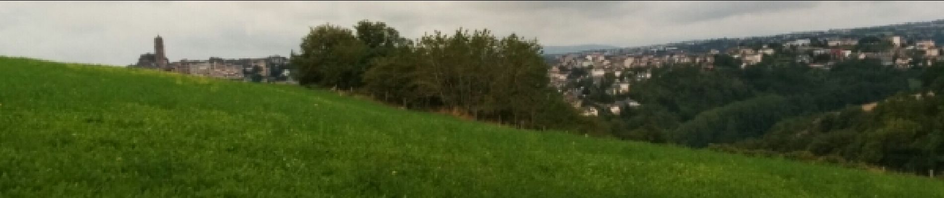
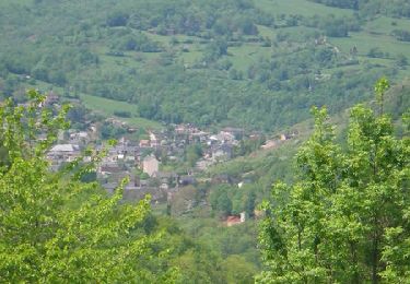
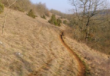
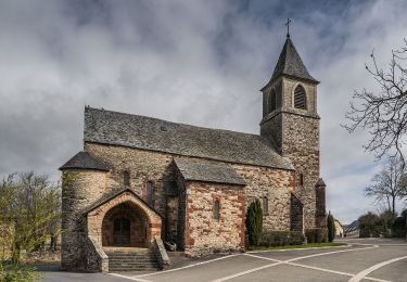
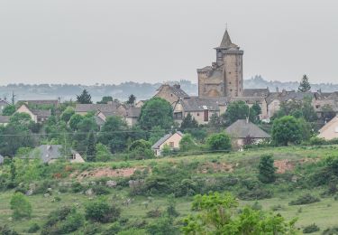
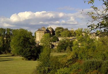
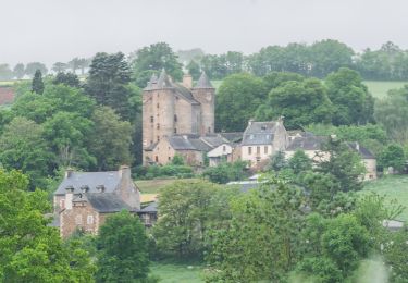
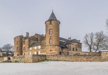
Randonnée Course à pied de 7 km à découvrir à Occitanie, Aveyron, Rodez. Cette randonnée est proposée par ZEYOH.

V.T.T.
V.T.T.

A pied
A pied
A pied
A pied
A pied

A pied
A pied