


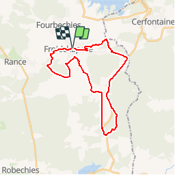

32 km | 37 km-effort
Randonnées au coeur d'une nature préservée GUIDE+


Application GPS de randonnée GRATUITE
 SityTrail
IGN / Instituts géographiques
SityTrail World
Le monde est à vous
Randonnée Cheval de 26 km à découvrir à Wallonie, Hainaut, Froidchapelle. Cette randonnée est proposée par La Forêt du Pays de Chimay.
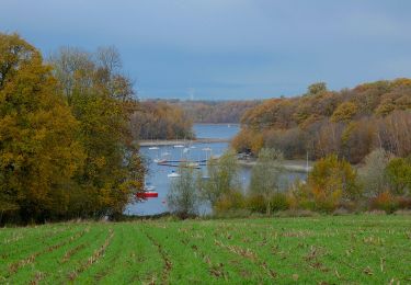
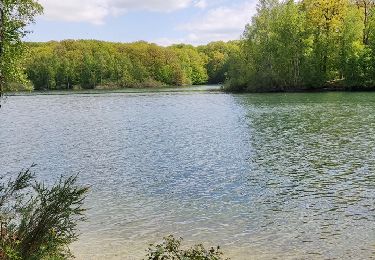
La promenade débute dans les sentiers forestiers du bois d’Hernoy. C’est ensuite les rues tranquilles du Champ Colin qui vous conduiront vers le bois le Comte d’où surgissent d’imposantes fermes. Vous emprunterez les bois du Walestru et d’Hurtaux qui vous redirigeront petit à petit vers le centre du village.
Profitez des vues exceptionnelles et du grand air de nos campagnes pour vous
ressourcer.
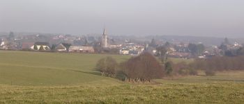
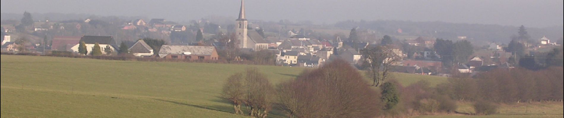
 - Promenade équestre de Froidchapelle - Photo 1")

V.T.T.

Marche
Marche

Marche
Marche
Marche
A pied
Marche

Marche