


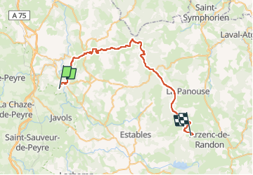


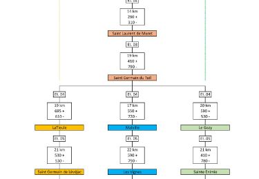
18,6 km | 24 km-effort


Utilisateur


Application GPS de randonnée GRATUITE
 SityTrail
IGN / Instituts géographiques
SityTrail World
Le monde est à vous
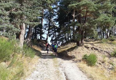
Randonnée V.T.T. de 45 km à découvrir à Occitanie, Lozère, Rimeize. Cette randonnée est proposée par jl77130.


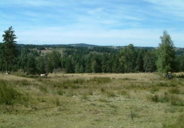
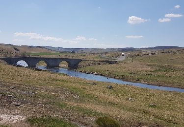
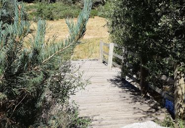
35 photos au total. Cliquez sur une photo pour les afficher toutes dans la galerie.
Marche
Marche

Marche

Marche

Marche
Voiture
Marche
Marche
Marche