


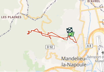

9 km | 14,2 km-effort


Utilisateur


Application GPS de randonnée GRATUITE
 SityTrail
IGN / Instituts géographiques
SityTrail World
Le monde est à vous
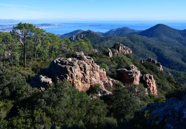
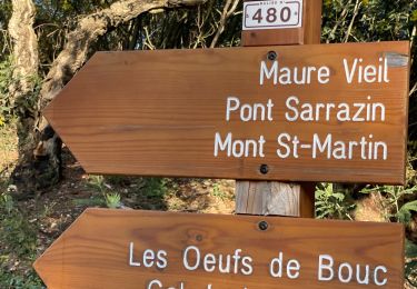
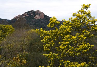
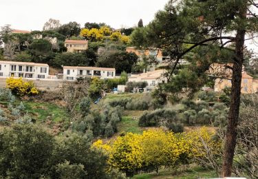
Randonnée Trail de 6,9 km à découvrir à Provence-Alpes-Côte d'Azur, Alpes-Maritimes, Mandelieu-la-Napoule. Cette randonnée est proposée par fredvil60.

Marche
Marche

Marche

sport
sport
Marche
Marche
Marche
Marche