


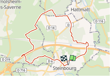

22 km | 29 km-effort

Utilisateur


Application GPS de randonnée GRATUITE
 SityTrail
IGN / Instituts géographiques
SityTrail World
Le monde est à vous
Randonnée Marche de 10,1 km à découvrir à Grand Est, Bas-Rhin, Steinbourg. Cette randonnée est proposée par Dorlene.mehl.
ponce 2022


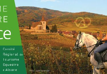
Randonnée équestre
V.T.T.
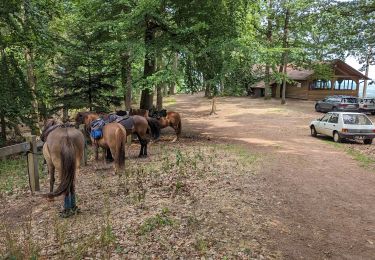
Randonnée équestre
A pied
A pied
A pied
A pied
A pied
A pied